The Role of Geomatics in Land Surveying
Introduction
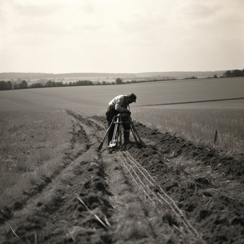
Geomatics, also known as geospatial technology, is a rapidly evolving field that focuses on the collection, analysis, interpretation, distribution, and application of geographic information. This field plays a crucial role in land surveying, a discipline that involves the detailed study or inspection, as well as the description, of land areas.
Geomatics: An Overview
Geomatics is a scientific discipline that integrates various methods and technologies for the collection, analysis, management, and presentation of geographic data. It encompasses a broad range of topics, including GIS, remote sensing, cartography, GPS, and photogrammetry.
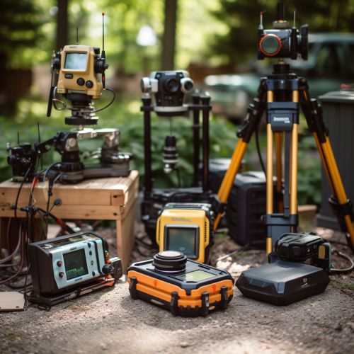
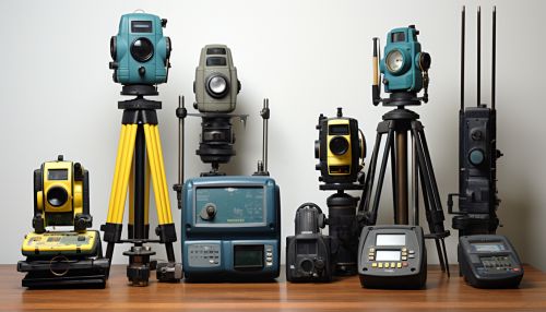
Role of Geomatics in Land Surveying
In the context of land surveying, geomatics plays a pivotal role in various aspects, from data collection to analysis and visualization.
Data Collection
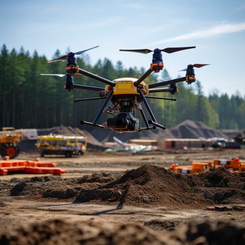
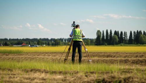
Geomatics technologies, such as GPS and remote sensing, are extensively used in land surveying for data collection. GPS allows surveyors to accurately determine the geographic coordinates of specific points on the Earth's surface, while remote sensing enables the acquisition of data about an object or phenomenon without making physical contact with the object.
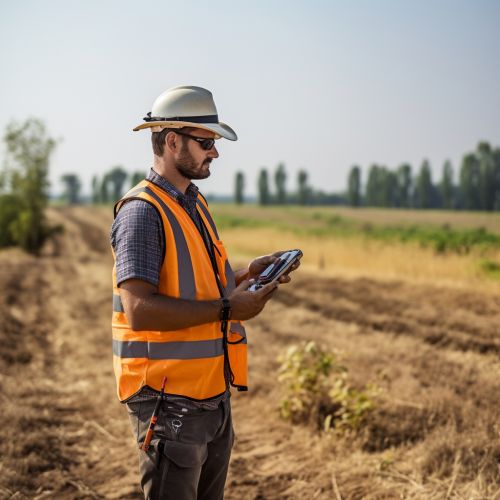
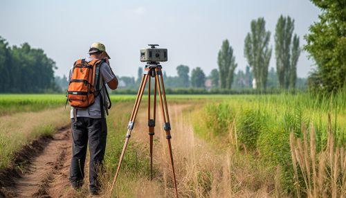
Data Analysis
Once the data is collected, it is processed and analyzed using GIS. GIS is a system designed to capture, store, manipulate, analyze, manage, and present spatial or geographic data. It allows surveyors to create digital maps, analyze spatial relationships, and present the results in a visual format.

Visualization
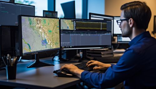
Geomatics also plays a crucial role in the visualization of survey data. Cartography, the art and science of map-making, is a key component of geomatics. It allows surveyors to present the results of their surveys in a visual and easily understandable format.


Impact of Geomatics on Land Surveying
The integration of geomatics in land surveying has revolutionized the field, making surveys more accurate, efficient, and cost-effective. It has also expanded the scope of land surveying, enabling surveyors to undertake projects that were previously impossible or impractical.
Future of Geomatics in Land Surveying
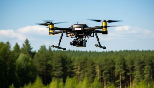
As technology continues to advance, the role of geomatics in land surveying is expected to grow even further. Emerging technologies, such as UAVs, LiDAR, and AI, are likely to play an increasingly important role in the field.
