Topography
Introduction
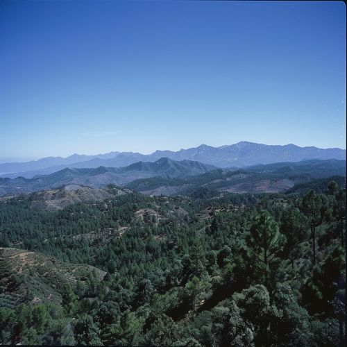
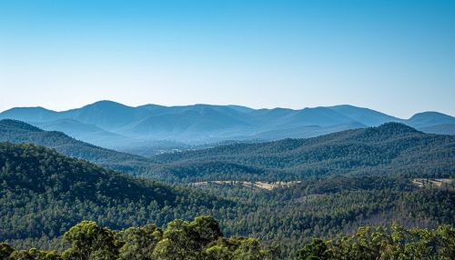
Topography is the study of the shape and features of land surfaces. The topography of an area could refer to the surface shapes and features themselves, or a depiction of these characteristics in the form of topographic maps.
Physical and Cultural Topography
Physical topography is concerned with the natural features of the Earth's surface, such as mountains, valleys, and bodies of water. These features are shaped by geological processes, including erosion, weathering, and tectonic activity. Cultural topography, on the other hand, refers to the human-made features that modify the natural landscape. This includes structures like buildings and roads, as well as agricultural fields and urban development.


Topographic Surveying
Topographic surveying is the process of determining the positions of various features on the surface of the Earth. It involves the measurement of horizontal distances, differences in elevation, and directions between points. The data gathered from these surveys is used to create topographic maps, which provide a detailed three-dimensional representation of the Earth's surface.
Topographic Maps
Topographic maps are a key tool in topography. They use contour lines, symbols, and color gradations to represent the three-dimensional features of the Earth's surface on a two-dimensional plane. These maps are used in a variety of fields, including geology, engineering, and land-use planning.
Techniques in Topography
There are several techniques used in topography to measure and represent the Earth's surface. These include direct survey, remote sensing, and geodesy. Direct survey involves physical measurements taken on the ground. Remote sensing involves the use of satellite imagery and aerial photography. Geodesy is the science of measuring and understanding the Earth's geometric shape, orientation in space, and gravitational field.
Topography and Geology
Topography plays a crucial role in the field of geology. It helps geologists understand the Earth's surface processes and history. For instance, the shape and arrangement of hills and valleys can reveal the underlying geological structures and the processes that formed them.
Topography and Hydrology
In hydrology, topography is used to understand how water flows across a landscape. It helps in predicting how water will move during a flood or after a heavy rainfall. Topographic maps are essential tools in watershed management, flood risk assessment, and water resource planning.
Topography and Civil Engineering
Civil engineers use topography to plan and design infrastructure projects. Understanding the topography of an area is crucial in determining the feasibility of a project and in designing structures that will interact safely and efficiently with the landscape.
Topography and Urban Planning
In urban planning, topography is used to guide the development of cities and towns. It helps planners determine where to place buildings, roads, and other infrastructure. It also influences the layout of a city and the distribution of its population.
Topography and Environmental Science
Topography plays a key role in environmental science, particularly in the study of ecosystems and biodiversity. The physical features of a landscape can influence the distribution and behavior of plant and animal species. Topographic maps are used in habitat conservation, wildlife management, and environmental impact assessments.
Conclusion
Topography is a multidisciplinary field that intersects with many areas of science and engineering. It provides essential information for understanding the Earth's surface, predicting natural events, and planning human activities. Despite its complexity, topography remains a fundamental tool in our quest to understand and navigate our planet.
