Cartography
Introduction
Cartography, from the Greek words "chartis" (map) and "graphos" (write), is the study and practice of making maps. As a field of study, it combines elements of geography, science, art, and technology to create visual representations of the world or parts of it. Cartography has been an integral part of human history since the dawn of civilization.
History of Cartography
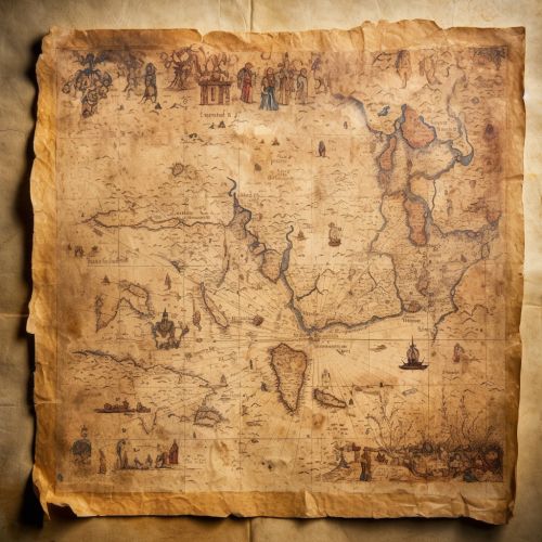
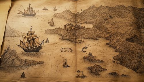
The history of cartography is a rich tapestry of exploration, discovery, and the human desire to understand our place in the world. It is a story that spans thousands of years and countless cultures, each contributing their unique perspective and techniques to the art and science of mapmaking.
Ancient Cartography
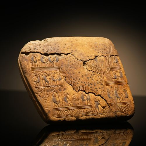
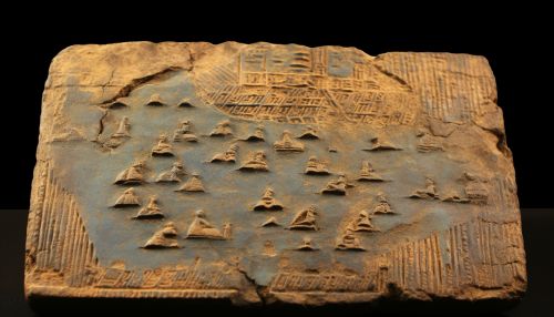
The earliest known maps are prehistoric cave paintings that depict the surrounding land and resources. The oldest known maps that have survived to the present day are from the ancient civilizations of Mesopotamia, Egypt, and the Indus Valley, dating back to around 2300 BC. These early maps were often symbolic, representing the world as the mapmaker understood it, rather than as it actually was.
Medieval Cartography
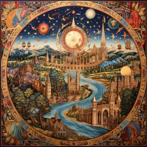
During the Middle Ages, cartography was heavily influenced by religious beliefs. The Mappa Mundi, or world maps, of this era often depicted the world with Jerusalem at the center and east at the top. These maps were not intended for navigation, but rather for contemplation and understanding of the world in a religious context.
Renaissance Cartography
The Renaissance period was a time of great advancement in cartography. The invention of the printing press allowed for the mass production of maps, and the Age of Exploration provided new information about the world. During this time, mapmakers began to use mathematical principles to create more accurate maps, a practice that continues to this day.
Modern Cartography
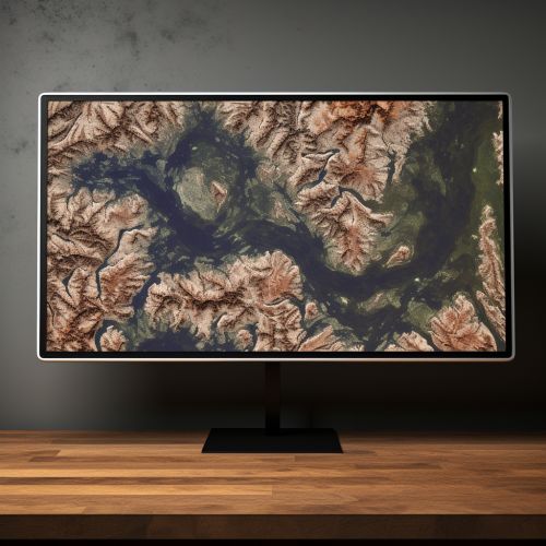
Modern cartography is a highly technical field that uses sophisticated software and satellite imagery to create accurate and detailed maps. It is a field that is constantly evolving, with new technologies and techniques being developed all the time.
Cartographic Techniques
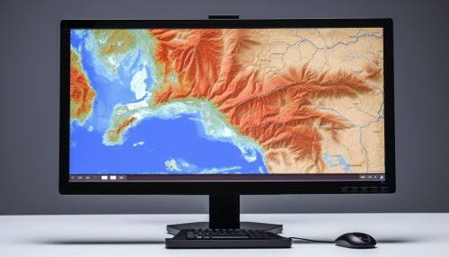
Modern cartographers use a variety of techniques to create maps. These include remote sensing, which involves using satellites or aircraft to gather data about the Earth's surface, and Geographic Information Systems (GIS), which is a computer system for capturing, storing, checking, and displaying data related to positions on Earth's surface.
Cartographic Representation
The representation of spatial data is a key aspect of cartography. This involves choosing the appropriate map projection, which is a method for representing the curved surface of the Earth on a flat map. It also involves the use of symbols and colors to represent different features on the map.
Digital Cartography
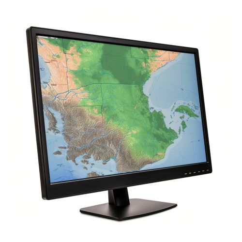
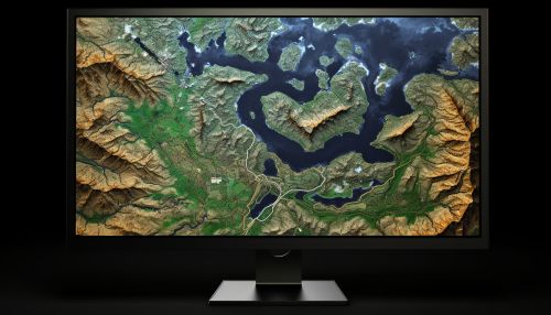
Digital cartography, also known as computer cartography, is a field that has grown rapidly with the advent of computers and the internet. Digital maps can be easily updated and shared, and they can include interactive features such as zooming and panning. They can also incorporate layers of information, allowing users to customize the map to their specific needs.
The Future of Cartography
The future of cartography is likely to be shaped by advances in technology, particularly in the areas of remote sensing, GIS, and digital mapping. As these technologies continue to evolve, so too will the ways in which we create and use maps.
