Geomatics
Introduction
Geomatics, also known as geospatial technology, geoinformatics, or geoinformation engineering, is a scientific discipline that focuses on the collection, analysis, interpretation, distribution, and application of geographic information. This field integrates various technologies and methodologies, including GIS, remote sensing, cartography, and GPS, to gather and process spatial data.
History
The term 'geomatics' was coined in the early 1980s by Michel Paradis, a surveyor from Quebec, Canada. The field has evolved significantly over the years, with advancements in technology and methodologies greatly enhancing the ability to collect, analyze, and utilize geographic data.
Concepts and Principles
Geomatics is based on several key concepts and principles, including spatial data collection, data analysis, data interpretation, and data distribution. These concepts are applied across various technologies and methodologies, such as GIS, remote sensing, cartography, and GPS.
Spatial Data Collection


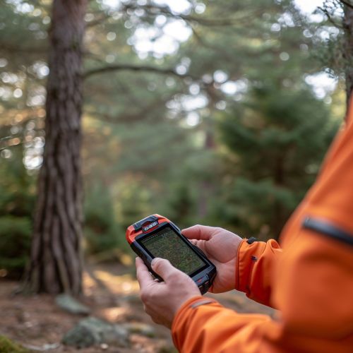
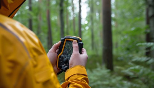
Spatial data collection involves gathering geographic information from various sources. This can be done through field surveys, aerial photography, satellite imagery, and other remote sensing techniques. The collected data can include information about the earth's surface, such as topography, vegetation, and human-made structures.
Data Analysis
Data analysis in geomatics involves processing and examining the collected spatial data to extract meaningful information. This can involve various techniques, such as statistical analysis, spatial analysis, and geostatistics.
Data Interpretation
Data interpretation involves making sense of the analyzed data. This can involve identifying patterns, trends, and relationships in the data, and making predictions or drawing conclusions based on these findings.
Data Distribution
Data distribution involves sharing the interpreted data with others. This can be done through various means, such as maps, reports, online databases, and GIS applications.
Applications
Geomatics has a wide range of applications across various fields, including environmental management, urban planning, transportation, agriculture, and disaster management.
Environmental Management
In environmental management, geomatics can be used to monitor and manage natural resources, assess environmental impacts, and develop conservation strategies. For example, remote sensing can be used to monitor deforestation, while GIS can be used to map and manage wildlife habitats.
Urban Planning
In urban planning, geomatics can be used to analyze and visualize urban growth, plan infrastructure, and manage land use. For example, GIS can be used to analyze population density, while remote sensing can be used to monitor urban sprawl.
Transportation
In transportation, geomatics can be used to plan and manage transportation networks, analyze traffic patterns, and develop transportation policies. For example, GPS can be used to track vehicles, while GIS can be used to analyze traffic flow.
Agriculture
In agriculture, geomatics can be used to monitor crop health, optimize irrigation, and manage pests. For example, remote sensing can be used to monitor crop health, while GIS can be used to map and manage irrigation systems.
Disaster Management
In disaster management, geomatics can be used to predict and monitor natural disasters, assess damage, and plan recovery efforts. For example, remote sensing can be used to monitor hurricanes, while GIS can be used to map and manage recovery efforts.
Future Trends
The field of geomatics is constantly evolving, with new technologies and methodologies continually being developed. Some of the key future trends in geomatics include the increasing use of unmanned aerial vehicles (UAVs) for data collection, the integration of artificial intelligence (AI) in data analysis, and the development of more advanced GIS applications.
