Global Positioning System (GPS)
Introduction
The Global Positioning System (GPS) is a satellite-based radionavigation system owned by the United States government and operated by the United States Space Force. It is one of the global navigation satellite systems (GNSS) that provides geolocation and time information to a GPS receiver anywhere on or near the Earth where there is an unobstructed line of sight to four or more GPS satellites.


History and Development
The development of GPS was initiated by the U.S. Department of Defense (DoD) in 1973, with the intent to use it for military navigation purposes. However, in the 1980s, the U.S. government made the system available for civilian use. GPS is a critical component of the global information infrastructure and has applications in many areas, including aviation, marine, search and rescue, surveying, and mapping.
System Components
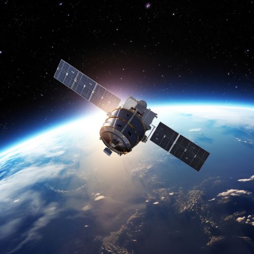
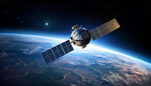
The GPS system is composed of three segments: the space segment, the control segment, and the user segment. The space segment consists of the GPS satellite fleet in space. The control segment consists of ground stations around the world that are responsible for tracking the GPS satellites, monitoring their transmissions, performing analyses, and sending commands and data to the satellites. The user segment consists of the GPS receivers that receive the signals from the satellites and use the transmitted information to calculate the user's exact location.
Working Principle
GPS operates by using a method known as trilateration, which involves the use of distance measurements between points to calculate their relative positions. In the case of GPS, the points are the GPS satellites and the user's GPS receiver. The satellites broadcast signals that include the satellite's location and the exact time the signal was transmitted. The GPS receiver picks up the signals from at least four satellites, and by calculating the time it took for each signal to reach the receiver, it can determine the distance to each satellite. With the distance to at least four satellites known, the receiver can calculate the user's exact location.
Applications
GPS has a wide range of applications, both in the civilian and military sectors. In the civilian sector, GPS is used for navigation in cars, boats, planes, and on foot. It is also used in surveying and mapping, geology, farming, and a wide range of scientific research. In the military sector, GPS is used for navigation, target tracking, missile and projectile guidance, search and rescue, and reconnaissance.
Future Developments
The future of GPS involves continuous advancements in technology and infrastructure. The U.S. government continues to invest in the modernization of the GPS system to meet the evolving needs of military, commercial, and civilian users. Future developments include new signals for civil use, improvements in performance, and enhanced robustness against interference and jamming.
