Land Surveying
Introduction
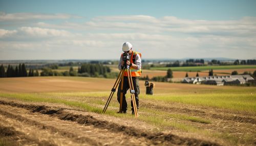
Land surveying is a critical discipline in the field of civil engineering that involves the measurement and mapping of the environment using mathematics, specialized technology, and equipment. Surveyors measure just about anything on the land, in the sky or on the ocean bed. They even measure polar ice-caps.


History
Land surveying has been an essential element in the development of the human environment since the beginning of recorded history (over 5000 years ago) and it is a requirement in the planning and execution of nearly every form of construction. Its most familiar modern uses are in the fields of transport, building and construction, communications, mapping, and the definition of legal boundaries for land ownership.
Land Surveying Techniques
There are several techniques that land surveyors use to measure and map the environment. These techniques have evolved over time, from the use of simple tools in ancient times to the use of advanced technology and software in the modern era.
Traditional Techniques
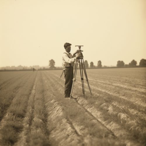
Traditional land surveying techniques often involve the use of tools like theodolites, levels, and total stations. These tools are used to measure angles and distances on the ground, which can then be used to calculate the exact positions of points.
Modern Techniques
Modern land surveying techniques have incorporated the use of advanced technology and software. These include Global Positioning System (GPS) technology, Geographic Information System (GIS) software, and Remote Sensing technology.
GPS Technology
Global Positioning System (GPS) technology is a modern surveying technique that uses satellites to provide precise positioning information. This technology has revolutionized the field of surveying, allowing for much more accurate and efficient measurements.
GIS Software
Geographic Information System (GIS) software is used to store, analyze, and visualize geographic data. This software is often used in conjunction with other surveying techniques to create detailed maps and models of the environment.
Remote Sensing
Remote sensing is a technique that uses sensors to measure the reflection or emission of electromagnetic energy from the Earth's surface. This technique is often used in conjunction with other surveying techniques to gather data about the environment.
Applications of Land Surveying
Land surveying has a wide range of applications in various fields. These include civil engineering, construction, transportation, mapping, and land ownership.
Civil Engineering
In the field of civil engineering, land surveying is used in the planning and design of buildings, roads, and other infrastructure. It is also used in the monitoring and control of construction projects to ensure that they are built according to design specifications.
Construction
In construction, land surveying is used to establish the exact location, shape, and contour of the land where a building or structure is to be erected. It is also used to determine the existing infrastructure and the changes to be made for new construction.
Transportation
In transportation, land surveying is used in the design and construction of roads, bridges, and other transportation infrastructure. It is also used in the planning and management of transportation systems.
Mapping
In mapping, land surveying is used to create detailed maps of the environment. These maps are used for a variety of purposes, including navigation, planning, and resource management.
Land Ownership
In land ownership, land surveying is used to define legal boundaries for land. This is important for determining property lines, resolving disputes over land ownership, and for planning purposes.
Future of Land Surveying
The future of land surveying looks promising with the continuous advancements in technology. The integration of artificial intelligence and machine learning in surveying techniques could potentially revolutionize the field. Moreover, the increasing demand for precise and detailed geographic information in various sectors such as real estate, construction, and transportation is expected to drive the growth of the land surveying industry.
