Remote Sensing
Introduction
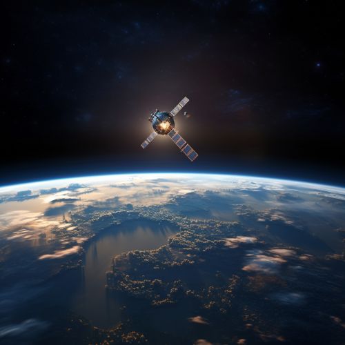
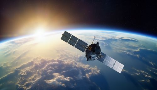
Remote sensing is the science of obtaining information about objects or areas from a distance, typically from aircraft or satellitesSatellite. This technology has revolutionized the scientific study of the Earth by enabling measurements of more detailed and hitherto unexplored phenomena with spatially comprehensive and global perspectives. It is used in numerous fields, including geography, land surveying and most Earth Science disciplines (for example, hydrology, ecology, meteorology, oceanography, glaciology, geology); it also has military, intelligence, commercial, economic, planning, and humanitarian applications, among others.
History of Remote Sensing
The concept of remote sensing was first introduced in the mid-19th century when balloonists used new methods of aerial photography to map the land below. The development of remote sensing has evolved over time from the use of simple cameras to take pictures of the Earth's surface to the use of complex sensor systems on board satellites and aircraft. The technology has been driven by a variety of needs, including military requirements, commercial interests, and scientific curiosity.


Principles of Remote Sensing
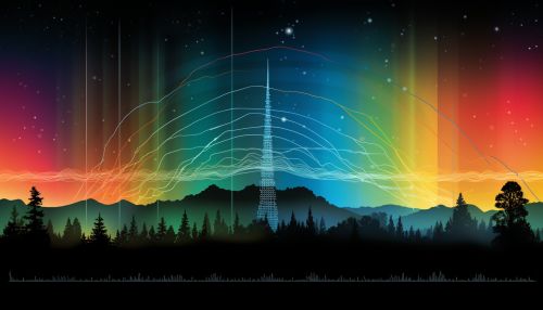
Remote sensing works by recording and analyzing the electromagnetic radiation (including visible light, infrared, and microwave) reflected or emitted from the Earth's surface. The two primary types of remote sensing are passive and active. Passive sensors detect natural radiation that is emitted or reflected by the object or surrounding area being observed. Active sensors, on the other hand, emit energy and then record the subsequent interaction with the Earth's surface.
Applications of Remote Sensing
Remote sensing has a wide range of applications in many different fields:
Environmental Monitoring
Remote sensing is used extensively in environmental monitoring. This includes monitoring deforestation in areas such as the Amazon Basin, the effects of climate change on glaciers and Arctic and Antarctic regions, and depth sounding of coastal and ocean depths.
Weather Forecasting
Satellites produce essential data for weather forecasting. Radiometers and photometers provide information about the Earth's atmosphere, including cloud cover, rainfall, and atmospheric gases.
Geology
In geology, remote sensing can be used to map large, remote areas. This is important for the exploration of natural resources, such as oil and gas. It is also important for mapping different types of rocks and soils.
Agriculture
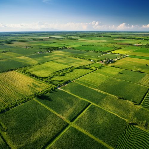
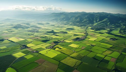
In agriculture, remote sensing is used to monitor crop growth and to detect diseases and pests. It can also be used to monitor irrigation and to manage resources.
Future of Remote Sensing
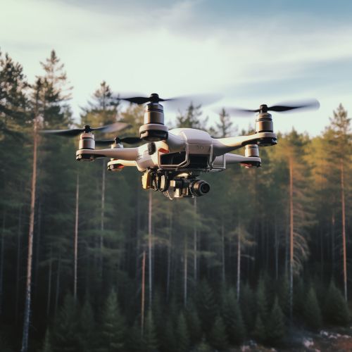
The future of remote sensing promises to be exciting with the advent of new sensors and platforms, as well as improvements in data analysis techniques. The increasing miniaturization of sensors and the advancements in drone technology, for example, will likely lead to an increase in the use of remote sensing technology in everyday applications. Furthermore, the integration of AI and machine learning technologies with remote sensing data is opening up new possibilities for data analysis and interpretation.
