The Role of Geoinformatics in Environmental Impact Assessment
Introduction
Geoinformatics, often referred to as geospatial informatics, is the science and technology that deals with the structure and character of spatial information, its classification, the methods of acquiring it, its quantitative and qualitative description and modeling, and the computational and statistical data analysis techniques, including their storage, retrieval at will, and display aesthetically. This field has significant implications in Environmental Impact Assessment (EIA), which is a process of evaluating the likely environmental impacts of a proposed project or development, taking into account inter-related socio-economic, cultural and human-health impacts, both beneficial and adverse.


Geoinformatics and Its Components
Geoinformatics is a broad field that encompasses various sub-disciplines, including Geographic Information Systems (GIS), Remote Sensing (RS), and Global Navigation Satellite Systems (GNSS). These components work together to collect, analyze, and present spatial data, which can be used in a variety of applications, including environmental impact assessment.
Geographic Information Systems
A Geographic Information System is a tool that captures, stores, manipulates, analyzes, manages, and presents all types of geographical data. GIS technology can be used for scientific investigations, resource management, and development planning. For example, a GIS might allow emergency planners to easily calculate emergency response times in the event of a natural disaster, or a GIS might be used to find wetlands that need protection from pollution.


Remote Sensing
Remote Sensing is the process of detecting and monitoring the physical characteristics of an area by measuring its reflected and emitted radiation at a distance (typically from satellite or aircraft). This technology allows for the collection of data on a scale and at a pace not achievable through traditional on-the-ground data collection methods. Remote sensing applications include monitoring deforestation in areas such as the Amazon Basin, glacial features in Arctic and Antarctic regions, and depth sounding of coastal and ocean depths.
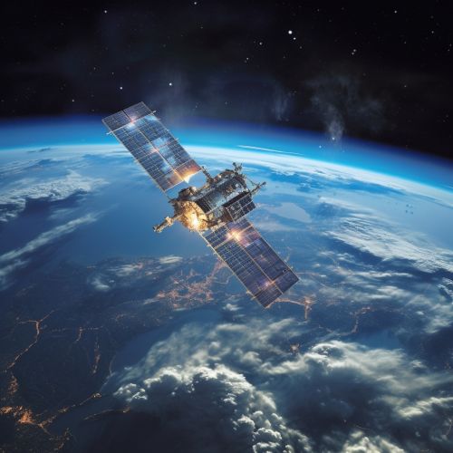
Global Navigation Satellite Systems like GPS, GLONASS, Galileo, and BeiDou allow for the precise determination of an object's location within a few centimeters. This technology is crucial for the collection of spatial data, which can be analyzed and presented using a GIS.
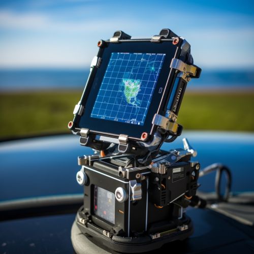
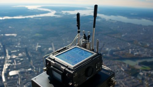
Role of Geoinformatics in Environmental Impact Assessment
Environmental Impact Assessment is a critical process in the planning and execution of any project or development. It involves the evaluation of the potential impacts of a proposed project on the environment, including both beneficial and adverse effects. Geoinformatics plays a crucial role in this process, providing the tools and techniques necessary to collect, analyze, and present spatial data related to the project.
Data Collection
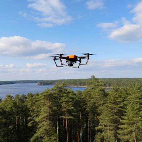
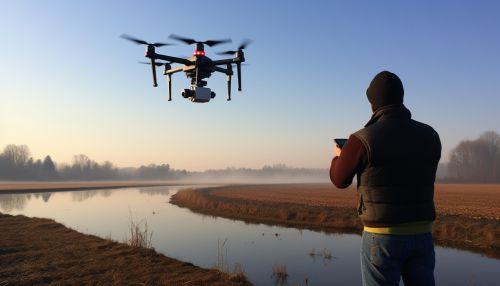
Geoinformatics provides a variety of tools and techniques for collecting spatial data. Remote sensing technology, for example, allows for the collection of data on a large scale and at a rapid pace. This data can include information about the physical characteristics of the project area, such as topography, vegetation, and water bodies. GNSS technology, on the other hand, allows for the precise determination of the location of specific features or areas within the project site.
Data Analysis
Once the spatial data has been collected, it must be analyzed to determine the potential impacts of the proposed project. GIS technology provides the tools necessary for this analysis. For example, a GIS can be used to create a map of the project area, overlaying the proposed project features with the collected spatial data. This can help identify areas of potential impact, such as wetlands that may be affected by construction activities.


Presentation of Results
The results of the data analysis must be presented in a way that is understandable to decision-makers, stakeholders, and the public. Again, GIS technology provides the tools necessary for this task. A GIS can be used to create maps and other visualizations that clearly show the potential impacts of the proposed project. These visualizations can be used in reports, presentations, and public consultations to communicate the results of the environmental impact assessment.


Conclusion
Geoinformatics plays a crucial role in environmental impact assessment, providing the tools and techniques necessary for the collection, analysis, and presentation of spatial data. Through its various components, including GIS, remote sensing, and GNSS, geoinformatics allows for the efficient and effective evaluation of the potential impacts of proposed projects on the environment. As such, it is a critical tool in the planning and execution of any project or development.
