Geographic Information Systems
Introduction
Geographic Information Systems (GIS) are computer-based tools that allow users to create interactive queries (user-created searches), analyze spatial information, edit data in maps, and present the results of all these operations. GIS technology can be integrated into any enterprise information system framework.
History
The development of GIS technology has its roots in the need for geographic data that could be easily accessed, stored, and used. The first known use of the term "GIS" was by Roger Tomlinson in the year 1968 in his paper "A Geographic Information System for Regional Planning". Tomlinson is also acknowledged as the "father of GIS".
Components of GIS
GIS is made up of several different components, not just the software and hardware. It also includes the data, network, people, and the actual methods that are used in order to manipulate, analyze, and present the information that is available.
Hardware
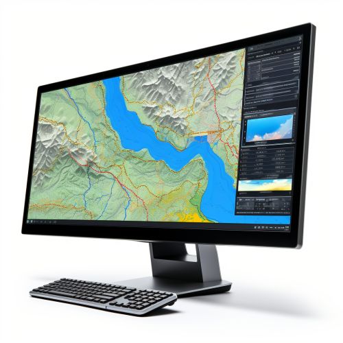
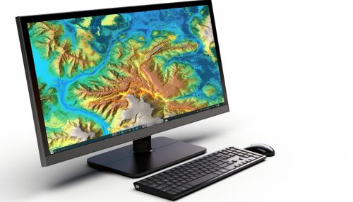
Hardware is the computer on which a GIS operates. Today, GIS software runs on a wide range of hardware types, from centralized computer servers to desktop computers used in stand-alone or networked configurations.
Software
GIS software provides the functions and tools needed to store, analyze, and display geographic information. Key software components are: - Database management systems (DBMS) - Tools for the input and manipulation of geographic information - Tools that support geographic query, analysis, and visualization - A GUI for easy interaction with the system
Data
The most important component of a GIS is the data. Geographic data and related tabular data can be collected in-house or bought from a commercial data provider. A GIS will integrate spatial data with other data resources and can even use a DBMS, used by most organizations, to manage the data.
People
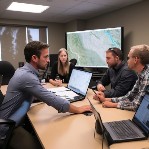
GIS technology is of little use without the people who manage the system and develop plans for applying it to real-world problems. Users are the people who use the information that a GIS provides.
Methods
A successful GIS operates according to a well-designed plan and business rules, which are the models and operating practices unique to each organization.
GIS Applications
GIS technology can be used for scientific investigations, resource management, asset management, environmental impact assessment, urban planning, cartography, criminology, history, sales, marketing, and logistics, as well as many other purposes.
GIS Data Representations
GIS data represents real objects such as roads, land use, elevation, trees, waterways, etc. These real world objects can be divided into two abstractions: discrete objects (a house) and continuous fields (rainfall amount, or elevation).
Vector Data
Vector data is not made up of a grid of pixels. Instead, vector graphics are comprised of vertices and paths. The three basic symbol types for vector data are points, lines, and polygons (areas).
Raster Data
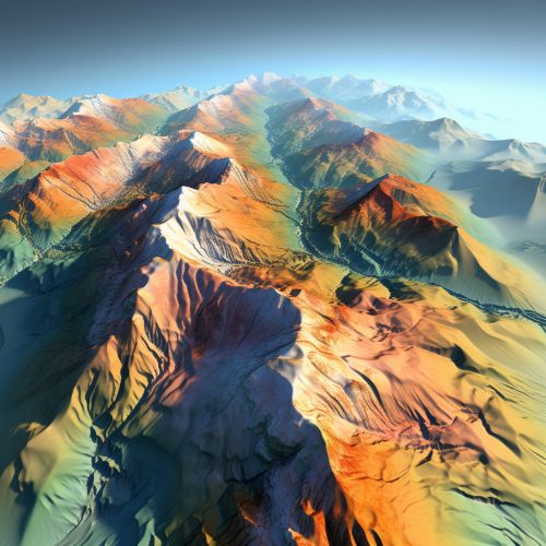
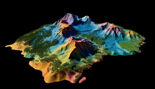
Raster data is made up of pixels (or cells), and each pixel has an associated value. Satellite imagery, aerial photography, and elevation models are all examples of raster data.
GIS Analysis
GIS analysis functions use the spatial and non-spatial attribute data to answer questions about real-world. There are four traditional types of GIS analysis: spatial overlay and contiguity analysis, surface analysis, network analysis, and geographic analysis.
GIS and Society
The use of GIS technology in our daily lives is growing rapidly. Whether it's for marketing, law enforcement, or urban planning, the use of GIS is becoming increasingly necessary in many fields.
See Also
- Geospatial Analysis - Cartography - Remote Sensing
