Global Navigation Satellite Systems
Introduction
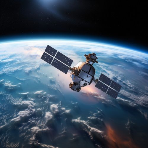
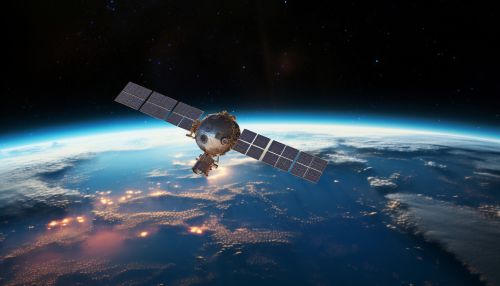
Global Navigation Satellite Systems (GNSS) are satellite constellations providing signals from space that transmit positioning and timing data to GNSS receivers. The receivers then use this data to determine location. By definition, GNSS provides global coverage. Examples of GNSS include the GPS of the United States, the GLONASS of Russia, the Galileo of Europe, and the BeiDou of China.


History and Development
The first GNSS system, the American Global Positioning System (GPS), was developed in the 1970s by the U.S. Department of Defense. Initially intended for military applications, the system was later made available for civilian use. The Russian GLONASS was the second system to be developed, followed by the European Galileo and the Chinese BeiDou systems. Each of these systems has undergone significant evolution and expansion since their inception, with improvements in accuracy, reliability, and availability.
System Components
A GNSS is composed of three main segments: the space segment, the control segment, and the user segment. The space segment consists of the GNSS satellites themselves. These satellites transmit signals to the user segment, which consists of GNSS receivers. The control segment, consisting of ground stations around the world, monitors the satellites and their signals, making necessary adjustments to ensure accuracy.
Satellite Constellations
Each GNSS operates a constellation of satellites. These satellites are positioned in Medium Earth Orbit (MEO), approximately 20,000 kilometers above the Earth's surface. The exact number and arrangement of satellites in a constellation varies between systems, but all are designed to ensure that at least four satellites are visible from any point on the Earth's surface at any given time.
Signal Transmission and Reception
GNSS satellites transmit signals on multiple frequencies. These signals contain a pseudorandom code, along with navigation data providing information about the satellite's orbit and clock. GNSS receivers use the time delay of the received signals to calculate the user's distance from each satellite, and hence determine the user's position.
Applications of GNSS
GNSS has a wide range of applications, both civilian and military. Civilian applications include navigation for vehicles and ships, surveying and mapping, geodesy, and timing for telecommunications networks. Military applications include navigation for aircraft, ships, and ground vehicles, precision targeting for weapons systems, and reconnaissance.
Future Developments
Future developments in GNSS technology are likely to include further improvements in accuracy, reliability, and availability, as well as the development of new applications. In particular, the integration of GNSS with other technologies, such as inertial navigation systems and wireless communication networks, is expected to provide new capabilities and services.
