Geoinformatics
Introduction
Geoinformatics, also known as geospatial informatics, is an interdisciplinary field that uses computer science, geography, statistics, and other disciplines to collect, analyze, and interpret geographic information. The field is primarily concerned with the study and application of geospatial technologies, such as Geographic Information Systems (GIS), remote sensing, and Global Positioning Systems (GPS), to understand and solve complex problems related to the earth and its systems.


History
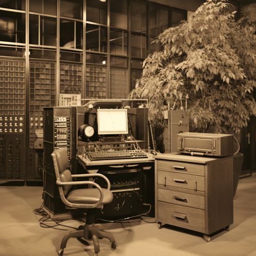
The field of geoinformatics emerged in the late 20th century, with the advent of computer technology and the increasing availability of geospatial data. The development of GIS in the 1960s and 1970s marked a significant milestone in the history of geoinformatics, as it enabled researchers to store, analyze, and visualize geographic data in unprecedented ways. The subsequent development of remote sensing and GPS technologies further expanded the capabilities of geoinformatics, allowing for the collection and analysis of geospatial data on a global scale.

Geospatial Technologies
Geospatial technologies are the tools and techniques used in geoinformatics to collect, analyze, and interpret geographic data. These technologies include GIS, remote sensing, GPS, and others.
Geographic Information Systems
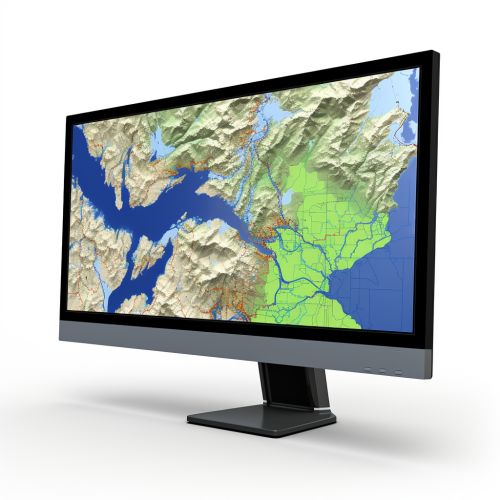
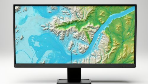
A Geographic Information System (GIS) is a computer-based tool that allows users to create, store, analyze, and visualize geographic data. GIS can be used to analyze spatial relationships, patterns, and trends, making it a valuable tool in a wide range of fields, including urban planning, environmental science, and transportation.
Remote Sensing
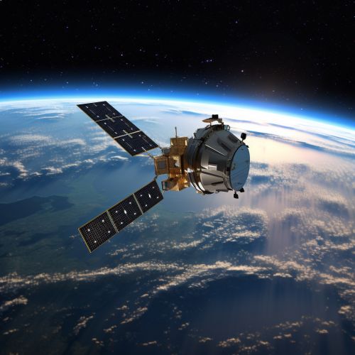
Remote sensing is the process of collecting data about the earth's surface from a distance, typically from satellites or aircraft. This data can be used to study a wide range of phenomena, from land use and vegetation patterns to atmospheric conditions and climate change.
Global Positioning Systems
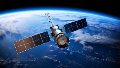
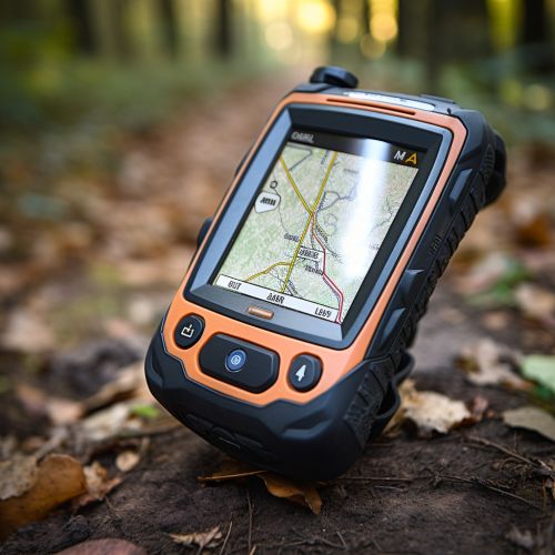
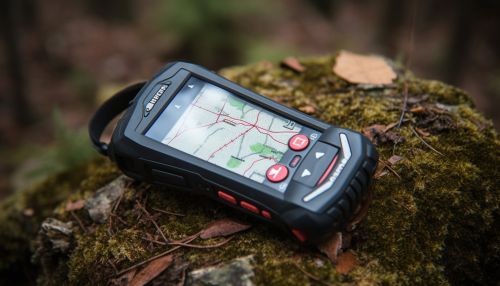
A Global Positioning System (GPS) is a satellite-based navigation system that provides accurate location and time information anywhere on or near the earth's surface. GPS is used in a wide range of applications, from navigation and mapping to scientific research and military operations.
Applications
Geoinformatics has a wide range of applications, spanning numerous fields and industries. These include, but are not limited to, urban planning, environmental management, transportation, public health, and disaster management.
Urban Planning
In urban planning, geoinformatics can be used to analyze land use patterns, assess infrastructure needs, and plan for future development. GIS can be used to create detailed maps of urban areas, showing everything from population density to the distribution of public services.
Environmental Management
In environmental management, geoinformatics can be used to monitor and manage natural resources, assess environmental impacts, and plan for conservation efforts. Remote sensing can be used to track changes in land use, vegetation, and climate over time, while GIS can be used to analyze these changes and plan for future scenarios.
Transportation
In transportation, geoinformatics can be used to plan and manage transportation networks, analyze traffic patterns, and optimize routes. GPS can be used for navigation and tracking, while GIS can be used to analyze transportation data and develop efficient transportation plans.
Public Health
In public health, geoinformatics can be used to track and analyze disease outbreaks, assess health needs, and plan for health services. GIS can be used to map the distribution of diseases, identify at-risk populations, and plan for health interventions.
Disaster Management
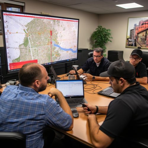
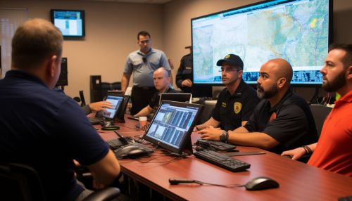
In disaster management, geoinformatics can be used to assess disaster risks, plan for disaster response, and monitor disaster recovery. Remote sensing can be used to monitor natural disasters such as hurricanes and wildfires, while GIS can be used to analyze disaster impacts and plan for recovery efforts.
Future Directions
The field of geoinformatics continues to evolve, driven by advances in technology and the increasing availability of geospatial data. Future directions for the field include the integration of geoinformatics with other disciplines, the development of new geospatial technologies, and the exploration of new applications for geoinformatics.
