Spatial Analysis
Introduction
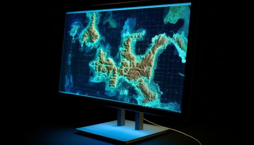
Spatial analysis, also known as spatial statistics, encompasses a range of formal techniques that scrutinize entities based on their topological, geometric, or geographic properties. The scope of spatial analysis is vast, with techniques in various stages of development, employing diverse analytic approaches. The application of these techniques spans across fields as disparate as astronomy, where it aids in the study of galaxy placements in the cosmos, to chip fabrication engineering, where it utilizes "place and route" algorithms to construct intricate wiring structures. In a narrower context, spatial analysis refers to techniques applied to human-scale structures, particularly in the analysis of geographic data.
The Intricacies of Spatial Analysis
Spatial analysis often grapples with complex issues, many of which stem from the intricate science of place. For instance, location theory, under certain assumptions, has determined that the most profitable retail establishments are those situated at the "centroid" (the center of gravity) of a region with uniform population density.


Fundamental Considerations in Spatial Analysis
One of the primary considerations in spatial analysis is spatial autocorrelation. The significance of the "region" stems from the fact that, at a certain scale, most spatial data is not 'stationary'. This means that summary statistics such as the mean and variance are not constant over space, but vary. This non-stationarity implies that generic univariate statistical indicators are not applicable, and spatial heterogeneity induces dependence among the observed data. This challenges the fundamental assumption of many statistical procedures, which posit that observations are independent of each other. Spatial regression methods, however, are designed to capture these relationships and are not constrained by the limitations of traditional linear regression methods.
Spatial Data
Spatial data, also referred to as geospatial data, is information about a physical object that can be represented by numerical values in a geographic coordinate system. Typically, spatial data is organized into layers, with each layer corresponding to a specific theme. For instance, one layer may represent streets within a given area, another may represent buildings, and yet another may represent parcels of land. Each layer consists of points, lines, or polygons, each of which is defined by a series of coordinates.


Spatial Autocorrelation
In the realm of statistics, spatial autocorrelation refers to the degree to which a set of spatial features and their associated values tend to cluster together in space (positive spatial autocorrelation) or disperse (negative spatial autocorrelation). Common methods of assessing spatial autocorrelation include the Moran's I statistic and Geary's C statistic.
Spatial Regression
Spatial regression is a technique employed in spatial analysis. Like other forms of regression analysis, it utilizes statistical techniques to formulate mathematical models that can describe the behavior of a system. However, in spatial regression, the objective is to describe systems that change over space, making it a frequently used tool in regional science, real estate analysis, and urban planning.


Geographic Information System
A geographic information system (GIS) is a system designed to capture, store, manipulate, analyze, manage, and present spatial or geographic data. The acronym GIS is sometimes used for geographic information science (GIScience) to refer to the academic discipline that studies geographic information systems and is a large domain within the broader academic discipline of geoinformatics.


