The Role of Geodesy in Geospatial Data Acquisition
Introduction
Geodesy is a scientific discipline that deals with the measurement and representation of the Earth, including its gravitational field, in a three-dimensional time-varying space. It plays a crucial role in the acquisition of geospatial data, which refers to information about physical objects, events, or phenomena that are associated with a specific location on the surface of the Earth.
Geodesy: An Overview
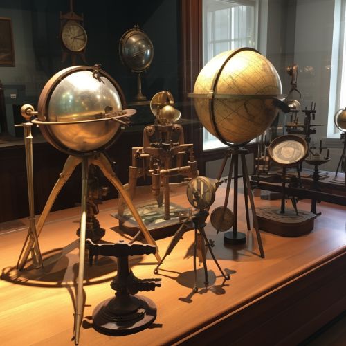
Geodesy is derived from the Greek words 'ge' meaning 'Earth' and 'daiein' meaning 'to divide'. It is a field of study that has been around since ancient times, with early geodetic practices dating back to the ancient Egyptians and Greeks. Modern geodesy, however, has evolved significantly with advancements in technology and the advent of satellite systems.
The primary objective of geodesy is to accurately determine the positions of points on the Earth's surface and the changes of these positions over time. This is achieved through a variety of methods, including terrestrial, aerial, and satellite surveying techniques.

Role of Geodesy in Geospatial Data Acquisition
Geodesy plays a pivotal role in geospatial data acquisition, providing the fundamental framework for all geospatial data. Without accurate geodetic control, all spatial data would be meaningless, as there would be no consistent, reliable way to reference or align the data.
Geodetic Control
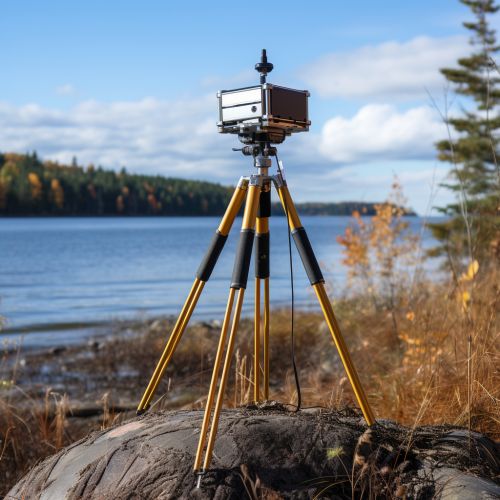
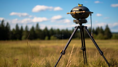
Geodetic control refers to the network of physical and virtual points that are accurately positioned on the Earth's surface. These points serve as the basis for the coordinate system used in geospatial data acquisition. Geodetic control is established through various surveying techniques, including GNSS surveys, DGPS surveys, and traditional terrestrial surveys.
Coordinate Systems
In geodesy, a coordinate system is a method used to define the position of a point, line, or area on the Earth's surface. There are various types of coordinate systems used in geodesy, including geographic coordinate systems, projected coordinate systems, and geocentric coordinate systems. These systems are essential for the acquisition, storage, analysis, and visualization of geospatial data.
Geodetic Datums
A geodetic datum is a reference system used to measure locations on the Earth's surface. It defines the origin and orientation of the coordinate system used in geospatial data acquisition. There are two main types of geodetic datums: horizontal datums and vertical datums. Horizontal datums are used to measure latitude and longitude, while vertical datums are used to measure altitude or depth.


Geodetic Techniques in Geospatial Data Acquisition
There are several geodetic techniques used in the acquisition of geospatial data, each with its own advantages and limitations. These techniques include terrestrial surveying, GNSS surveying, and remote sensing.
Terrestrial Surveying
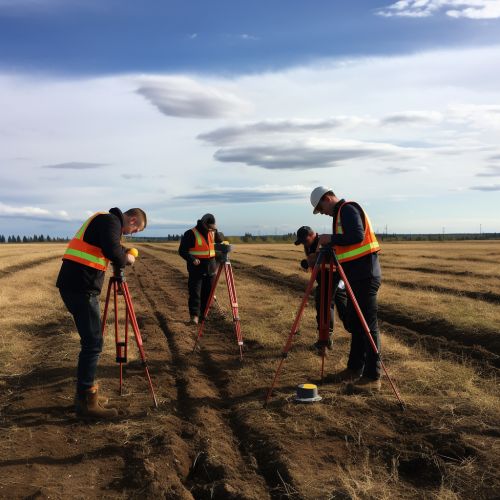
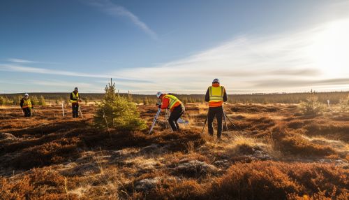
Terrestrial surveying is a traditional method of geodetic data acquisition that involves the direct measurement of distances, angles, and elevations on the Earth's surface. This method is highly accurate but can be time-consuming and labor-intensive.
GNSS Surveying
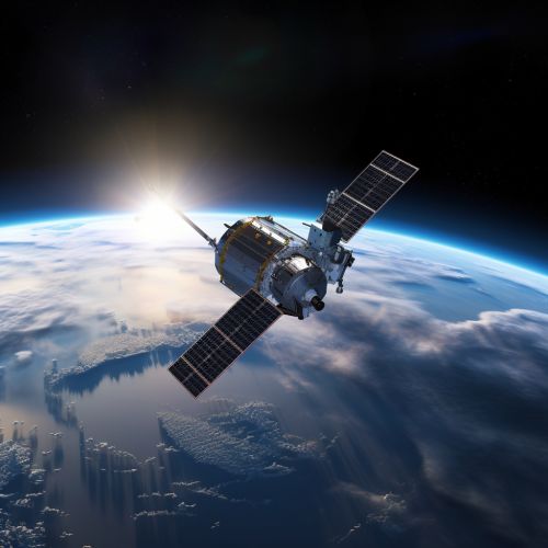
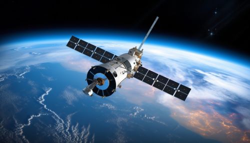
GNSS surveying is a modern method of geodetic data acquisition that uses signals from satellite constellations to determine precise positions on the Earth's surface. This method is highly efficient and can provide global coverage, but its accuracy can be affected by factors such as atmospheric conditions, satellite geometry, and signal multipath.
Remote Sensing
Remote sensing is a method of geodetic data acquisition that involves the collection of data about the Earth's surface from a distance, typically from aircraft or satellites. This method can provide large-scale coverage and multi-temporal data, but its accuracy can be affected by factors such as sensor resolution, atmospheric conditions, and surface characteristics.
Conclusion
Geodesy plays an integral role in the acquisition of geospatial data, providing the fundamental framework for all spatial data. Through various geodetic techniques and technologies, geodesy enables the accurate, efficient, and reliable collection of data about the Earth's surface, contributing to a wide range of applications in fields such as cartography, navigation, land surveying, and geographic information systems.
