Geodetic Datum
Introduction
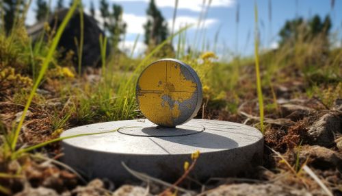
A geodetic datum or geodetic system is a coordinate system, and a set of reference points, used for locating places on the Earth (or similar objects). An approximate definition of sea level is traditionally used as one of these reference points. The other reference points are defined relative to it. A geodetic datum is used in order to translate "positional data into geographic coordinates". The difference in co-ordinates between data collected using different datums can be large enough to be important for the purposes of some applications such as navigation or engineering surveying.
History
The concept of a geodetic datum has been in use since ancient times, with the ancient Greeks being among the first to use a datum to reference locations on Earth. The modern concept of a geodetic datum, which includes an ellipsoid model of the Earth and an origin point, was developed in the 18th century by mathematicians such as Gauss and Helmert.


Types of Geodetic Datums
There are two broad categories of geodetic datums: horizontal and vertical.
Horizontal Datums
Horizontal datums are used for describing a point on the Earth's surface, in latitude and longitude or another coordinate system. Horizontal datums are used for terrestrial navigation and mapping of the earth's surface. The North American Datum of 1983 (NAD83) and the World Geodetic System of 1984 (WGS84) are examples of horizontal datums.
Vertical Datums
Vertical datums are used to measure elevations or underwater depths. Vertical datums are used in cartography, surveying and other fields where altitude or depth measurements are important. The North American Vertical Datum of 1988 (NAVD88) and the European Vertical Reference System (EVRS) are examples of vertical datums.
Datum Components
A geodetic datum consists of several components, including an ellipsoid definition, a set of reference points, and a set of transformations to other datums.
Ellipsoid Definition
The ellipsoid definition describes the size and shape of the Earth as a mathematical model. The ellipsoid is defined by two parameters: the semi-major axis and the flattening factor. The semi-major axis is the radius of the Earth along the equator, and the flattening factor describes how much the poles are flattened relative to the equator.
Reference Points
The reference points of a geodetic datum are a set of locations on the Earth's surface that have been precisely measured and are used as a starting point for other measurements. These points can be physical locations, such as survey markers, or they can be mathematical constructs, such as the center of the Earth.
Transformations
Transformations are mathematical formulas that convert coordinates from one datum to another. These transformations can be simple shifts in the x, y, and z directions, or they can be more complex operations that take into account differences in the size and shape of the Earth between the two datums.
Importance of Geodetic Datums
Geodetic datums are important for a variety of applications, including mapping, navigation, land surveying, and scientific research. They provide a consistent framework for locating points on the Earth's surface and for measuring distances between points. Without a common geodetic datum, it would be impossible to accurately compare or combine geographic data from different sources.
