Geographic Information System
Introduction
A Geographic Information System (GIS) is a framework designed to capture, store, manipulate, analyze, manage, and present all types of geographical data. The key word to this technology is Geography – this means that some portion of the data is spatial. In other words, data that is in some way referenced to locations on the earth.
History
The development of GIS technology has a long history that spans several decades. The earliest forms of GIS were manual systems, but the real revolution in GIS technology came with the advent of digital computers in the mid-20th century. Computer Science has played a significant role in the advancement of GIS.


Components of a GIS
A GIS system is made up of several key components. These include:
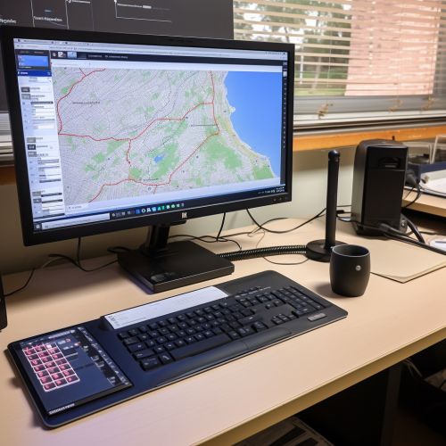
- Hardware: This is the physical component of a GIS, including the computer and peripherals that are used to run the system.
- Software: This includes the programs and applications that are used to manage and analyze the geographic data.
- Data: This is the most important component of a GIS. Data can be spatial, relating to a specific location on the earth's surface, or it can be non-spatial, relating to attributes that are not directly tied to a geographic location.
- People: These are the individuals who use the GIS, including both the technical specialists who maintain the system and the end users who utilize the data.
- Procedures: These are the methods and rules that govern the operation and use of the GIS.


GIS Data
Data in a GIS is stored in a very specific way. There are two main types of data that are used in a GIS: vector data and raster data.
- Vector Data: This type of data is made up of points, lines, and polygons. Vector data is used to represent discrete features on the earth's surface, such as buildings, roads, and rivers.
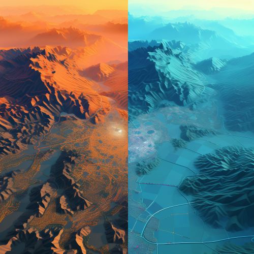
- Raster Data: This type of data is made up of a grid of cells, or pixels. Raster data is used to represent continuous features on the earth's surface, such as elevation or temperature.


GIS Applications
GIS technology has a wide range of applications in many different fields. Some of the most common uses of GIS include:
- Environmental Management: GIS is used to analyze environmental data for conservation, natural resource management, and pollution control.
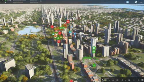
- Urban Planning: City planners use GIS to analyze spatial data for land use, transportation planning, and community development.
- Disaster Management: GIS is used to map disaster-prone areas and plan for emergency response.
- Business: Companies use GIS for market analysis, site selection, and logistics.


Future of GIS
The future of GIS technology is very promising, with many exciting developments on the horizon. Some of the key trends in GIS include the integration of GIS with other technologies, such as Artificial Intelligence and Internet of Things, the increasing use of real-time GIS data, and the growing importance of GIS in decision-making processes.


