Global Navigation Satellite System
Overview
The Global Navigation Satellite System (GNSS) is a satellite system that is used to pinpoint the geographic location of a user's receiver anywhere in the world. Several countries have their own GNSS systems, including the United States' GPS, the European Union's Galileo, Russia's GLONASS, and China's BeiDou.
History
The concept of GNSS started with the launch of Sputnik, the first artificial satellite, by the Soviet Union in 1957. Scientists in the United States discovered that the frequency of the radio signals transmitted by Sputnik increased as it approached and decreased as it moved away. This effect is known as the Doppler Effect. This discovery led to the realization that the satellite's orbit could be tracked and predicted with the measurement of Doppler Effect. This was the precursor to the development of modern GNSS systems.
Components
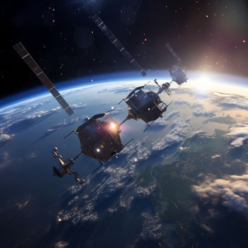
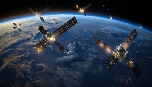
A GNSS is composed of three main components: space, control, and user. The space component is the constellation of satellites orbiting the Earth. The control component is a network of ground stations that monitor the satellites and their signals. The user component consists of receivers, which can be handheld devices or equipment installed in vehicles, aircraft, ships, or satellites.


Working Principle
The working principle of GNSS involves the transmission of signals from the satellites to the receivers on the Earth. The receiver calculates the distance to each satellite based on the time delay of the received signals. With the distance to at least four satellites known, the receiver can calculate its position in three dimensions using the method of trilateration.
Applications
GNSS has a wide range of applications. It is commonly used in navigation for both civilian and military purposes. Other applications include geodesy, surveying, and timekeeping. GNSS is also used in scientific research, for example, in the study of the Earth's atmosphere and climate.
Future Developments
Future developments in GNSS technology include the integration of GNSS with other technologies, such as inertial navigation systems and cellular network positioning, to improve positioning accuracy and reliability. There is also ongoing research on the use of GNSS for remote sensing of the Earth's atmosphere and surface.
