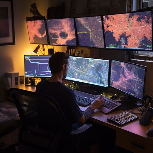
Geospatial Analysis
Introduction
Geospatial analysis is a comprehensive approach to understanding the spatial patterns and processes that shape our world. It involves the collection, manipulation, and display of geographic and spatial data to reveal spatial relationships, patterns, and trends. This field of study is critical in a wide range of disciplines, from urban planning and environmental science to public health and criminology.


History and Development
The origins of geospatial analysis can be traced back to the early days of cartography, with pioneers like Ptolemy and Eratosthenes. However, the field as we know it today began to take shape in the mid-20th century, with the advent of computer technology and the development of Geographic Information Systems.
Principles of Geospatial Analysis
Geospatial analysis is based on several key principles. These include the concepts of space and time, spatial relationships and dependencies, and the importance of scale and projection. Understanding these principles is crucial for interpreting spatial data and conducting effective geospatial analysis.
Techniques and Methods
There are numerous techniques and methods used in geospatial analysis, each with its own strengths and limitations. These include spatial statistics, geostatistics, spatial autocorrelation, and spatial interpolation. Other techniques involve the use of remote sensing, GIS, and cartographic visualization.
Applications of Geospatial Analysis
Geospatial analysis has a wide range of applications in various fields. In urban planning, it is used to analyze land use patterns and transportation networks. In environmental science, it helps in assessing the impact of human activities on the environment. In public health, it is used to map disease outbreaks and identify at-risk populations.
Future Directions
With advancements in technology and the increasing availability of spatial data, the field of geospatial analysis is poised for significant growth. Future directions include the integration of machine learning and artificial intelligence, the development of real-time geospatial analytics, and the exploration of 3D and 4D geospatial analysis.
