Geographic Information Systems (GIS)
Introduction
Geographic Information Systems (GIS) are designed to capture, store, manipulate, analyze, manage, and present all types of geographical data. The technology integrates common database operations, such as query and statistical analysis, with the unique visualization and geographic analysis benefits offered by maps 1(https://www.esri.com/en-us/what-is-gis/overview). These abilities distinguish GIS from other information systems and make it valuable to a wide range of public and private enterprises for explaining events, predicting outcomes, and planning strategies.
History
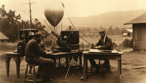
The concept of GIS has existed since the birth of geographical studies. However, the first practical GIS was developed by the Canadian government in the early 1960s. The Canada Geographic Information System (CGIS) was created to store, analyze, and manipulate data collected for the Canada Land Inventory (CLI) - an initiative to determine the land capability for rural Canada by mapping information about soils, agriculture, recreation, wildlife, waterfowl, forestry, and land use at a scale of 1:50,000 2(https://www.esri.com/en-us/what-is-gis/history-of-gis).

Components
A working GIS integrates five key components: hardware, software, data, people, and methods.
Hardware
Hardware refers to the computer on which a GIS operates. Today, GIS software runs on a wide range of hardware types, from centralized computer servers to desktop computers used in stand-alone or networked configurations 3(https://www.gislounge.com/what-is-gis/).
Software
GIS software provides the functions and tools needed to store, analyze, and display geographic information. Key software components include a database management system (DBMS), tools for the input and manipulation of geographic information, tools that support geographic query, analysis, and visualization, and a graphical user interface (GUI) for easy access to tools 4(https://www.gislounge.com/what-is-gis/).
Data
For a GIS to be functional, geographic data and attribute data are needed. Geographic data is the spatial information that identifies the geographic location of features on the Earth's surface. Attribute data is the additional information that can be tied to each spatial feature 5(https://www.gislounge.com/what-is-gis/).
People
People are perhaps the most important component of a GIS. A successful GIS operates under the guidance of skilled people who understand the particular problems needing to be addressed, the data required, and how to apply the technology to the data to solve the problems 6(https://www.gislounge.com/what-is-gis/).
Methods
A GIS operates according to a well-designed plan and business rules, which are the models and operating practices unique to each organization 7(https://www.gislounge.com/what-is-gis/).

Applications
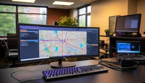
GIS technology can be used for scientific investigations, resource management, asset management, environmental impact assessment, urban planning, cartography, criminology, history, sales, marketing, and logistics, as well as for many other purposes. For example, a GIS might allow emergency planners to easily calculate emergency response times in the event of a natural disaster, or a GIS might be used to find wetlands that need protection from pollution 8(https://www.gislounge.com/what-is-gis/).
Future of GIS
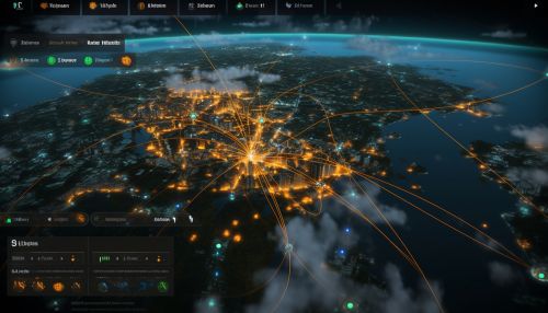
The future of GIS is one of increasing technological advancement, including improved data processing, real-time data, more sophisticated methods for data visualization, and expanded accessibility for a wider audience. As GIS technology continues to evolve, we can expect to see further improvements in the speed, accuracy, and usability of these systems 9(https://www.gislounge.com/what-is-gis/).

See Also
References
1. What is GIS? 2. The History of GIS 3. What is GIS? 4. What is GIS? 5. What is GIS? 6. What is GIS? 7. What is GIS? 8. What is GIS? 9. What is GIS?
