Global Positioning System
Introduction
The Global Positioning System (GPS) is a satellite-based navigation system that provides geolocation and time information to a GPS receiver anywhere on or near the Earth's surface. The system operates independently of any telephonic or internet reception, although these technologies can enhance the usefulness of the GPS positioning information. The GPS system provides critical positioning capabilities to military, civil, and commercial users around the world.


History and Development
The United States Department of Defense (DoD) developed the GPS system, which became fully operational in 1995. Originally limited to use by the United States military, policy changes over time have led to widespread civilian usage. The GPS project was launched by the U.S. Department of Defense in 1973 for use by the United States military and became fully operational in 1995.


Functionality and Principles
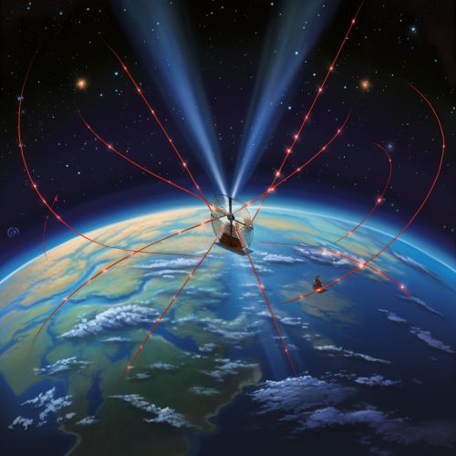
GPS operates by using a method called trilateration, which involves the use of at least three satellites to accurately determine a user's location. Each satellite transmits a unique signal and orbital parameters that allow GPS devices to decode and compute the precise location of the satellite. GPS receivers use this information to calculate a user's exact location. Essentially, the GPS receiver measures the distance to each satellite by the amount of time it takes to receive a transmitted signal.

Applications
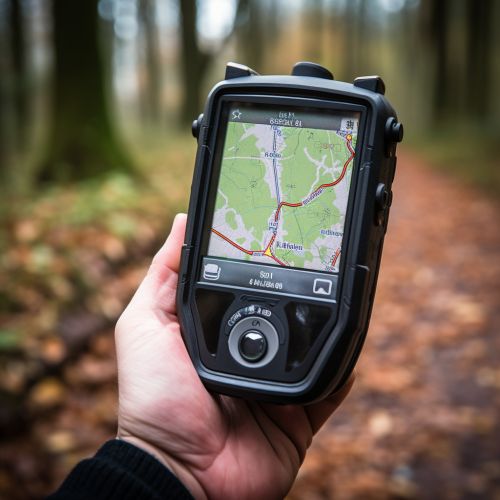
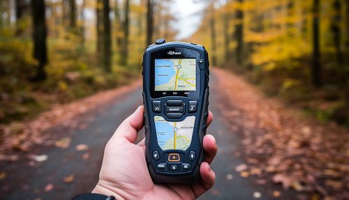
GPS has a wide range of applications, including navigation, mapping, surveying, and timekeeping. It is also used in a wide variety of fields such as the military, aviation, maritime, and emergency services. In addition, GPS has numerous recreational uses, such as in hiking, fishing, and geocaching.
Limitations and Errors
While GPS is a powerful tool, it is not without its limitations and potential errors. Factors such as atmospheric conditions, signal multipath, receiver clock errors, and orbital errors can affect the accuracy of GPS. In addition, GPS signals may be intentionally degraded or blocked, a practice known as GPS jamming.

Future Developments
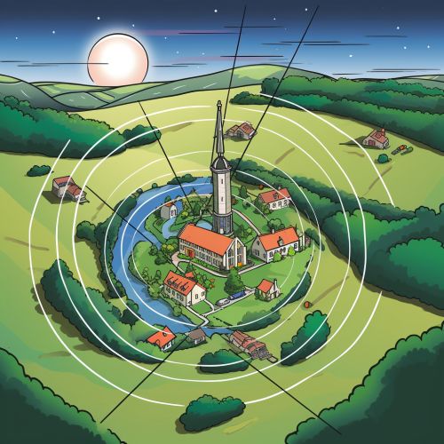
The future of GPS involves the continued evolution of the system, including improvements in signal strength, accuracy, and reliability. One significant development is the modernization of the GPS constellation with new, more advanced satellites, known as GPS III. These satellites are expected to improve the accuracy and reliability of GPS signals, and also include advanced anti-jamming capabilities.
