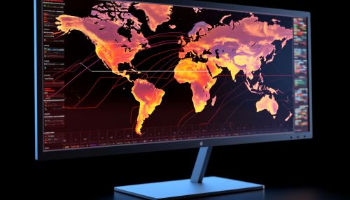
Geographical Information Systems
Introduction
A Geographical Information System (GIS) is a framework designed to capture, store, manipulate, analyze, manage, and present all types of geographical data. The technology integrates common database operations, such as query and statistical analysis, with the unique visualization and geographic analysis benefits offered by maps.


History of GIS
The development of GIS technology has a long history that spans several decades. The concept of GIS was first introduced in the early 1960s by Dr. Roger Tomlinson, a geographer from the United Kingdom, who is often referred to as the "father of GIS". His pioneering work led to the development of the first operational GIS in the world, known as the Canada Geographic Information System (CGIS).
Components of GIS
A GIS system consists of several key components, each playing a crucial role in the functioning of the system. These components include hardware, software, data, people, and methods.
Hardware
Hardware refers to the physical devices and systems used in a GIS. This includes computers, servers, network infrastructure, and peripheral devices such as printers and scanners.
Software
Software is the set of instructions that tells the hardware what to do. GIS software provides the functions and tools needed to store, analyze, and display geographic information. Examples of GIS software include ArcGIS by Esri, QGIS, and GRASS GIS.
Data
Data is the most important component of a GIS. Geographic data and related tabular data can be collected in-house or bought from a commercial data provider. A GIS will integrate spatial data with other data resources and can even use a database management system (DBMS).
People
People are the users who interact with the GIS system. They can be GIS professionals who design and maintain the system, or end-users who use the system to answer questions and solve problems.
Methods
Methods refer to the procedures and techniques used in the design, implementation, and application of a GIS. This includes data collection methods, spatial analysis techniques, and map design principles.
Applications of GIS
GIS has a wide range of applications across various fields. It is used in cartography, remote sensing, land surveying, public utility management, natural resource management, and in the planning and development of urban and regional landscapes.
Cartography
In cartography, GIS is used for the creation and production of maps. It provides a flexible platform for map creation, with the ability to create maps at any scale and featuring any level of detail.
Remote Sensing
In remote sensing, GIS is used to analyze data and images captured by satellites and other long-distance methods. This allows for the study and monitoring of large-scale environmental phenomena.
Land Surveying
In land surveying, GIS is used to help surveyors capture, store, and analyze spatial information. This information can then be used for the planning and design of infrastructure projects.
Public Utility Management
In public utility management, GIS is used to manage and analyze data related to utilities such as water, electricity, and gas. This can help in the planning and management of utility services.
Natural Resource Management
In natural resource management, GIS is used to manage and analyze data related to the environment and natural resources. This can help in the planning and management of conservation efforts.
Urban and Regional Planning
In urban and regional planning, GIS is used to analyze spatial data related to urban and regional landscapes. This can help in the planning and development of cities and regions.
Future of GIS
The future of GIS lies in the integration of the technology with other emerging technologies such as artificial intelligence, machine learning, and the Internet of Things. This will allow for more advanced analysis and decision-making capabilities, and will open up new possibilities for the application of GIS.
