Geographical Information System
Introduction
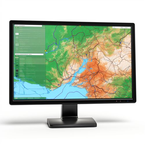
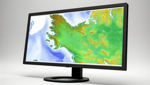
A Geographical Information System (GIS) is a system designed to capture, store, manipulate, analyze, manage, and present all types of geographical data. The key word to this technology is Geography. This means that some portion of the data is spatial, or in other words, data that is in some way referenced to locations on the earth.


History
The development of GIS technology has a long history that spans over several decades. The roots of GIS can be traced back to the 1960s when Roger Tomlinson, a geographer from England, began developing the Canada Geographic Information System (CGIS). The CGIS was the first system of its kind that could store, analyze, and manipulate geographical data. Tomlinson is often referred to as the "father of GIS".
Components
A GIS system is composed of several key components, each playing a crucial role in the functionality of the system. These components include:
- Hardware: This includes the computer system on which the GIS software runs. This can range from a powerful desktop computer to a mobile device.
- Software: This is the applications and programs that process the data. GIS software provides the functions and tools needed to store, analyze, and display geographical information.
- Data: Perhaps the most important component of a GIS is the data. Geographical data and related tabular data can be collected in-house or bought from a commercial data provider.
- People: GIS technology is of little use without the people who manage the system and develop plans for applying it to real-world problems. These individuals are typically professionals in fields such as geography, cartography, spatial analysis, and computer science.
- Methods: A successful GIS operates according to a well-designed plan and business rules, which are the models and operating practices unique to each organization.
Data Structures
In a GIS, geographical data is usually represented in the form of a map, which is a reduction of the real world on a sheet of paper or computer screen. These maps are composed of layers, each containing different types of data, such as roads, land use, and elevation. Each layer is referenced to a common coordinate system, so that they can be overlaid to find relationships between different types of data.
There are two main types of data structures used in GIS: raster and vector.
- Raster data is cell-based and is typically used to represent continuously varying phenomena, such as elevation or temperature.
- Vector data is represented as discrete points, lines, and polygons. This type of data is used to represent features such as roads, rivers, and land parcels.
Applications of GIS
The applications of GIS are vast and span across many disciplines. Here are a few examples:
- Environmental Impact Analysis: GIS can be used to combine data from various sources to assess the impact of development or change in land use on the natural environment.
- Disaster Management: GIS can help in disaster management by providing information about areas affected by natural disasters such as floods, earthquakes, or hurricanes. This information can be used to plan response and recovery efforts.
- Urban Planning: City planners use GIS to analyze spatial data, assess trends, and make decisions about the development of cities.
- Transportation Planning: GIS is used to analyze transportation networks and plan routes for efficient movement of people and goods.
- Health Services: Health officials use GIS to track the spread of diseases and plan health services.
Future of GIS
The future of GIS is very promising with continual advancements in technology and broadening applications. Some of the potential future developments in GIS include increased integration with other technologies such as the Internet of Things (IoT), machine learning, and augmented reality. Another exciting development is the increasing availability of real-time spatial data, which opens up new possibilities for dynamic, real-time GIS analysis.
