QGIS
Introduction
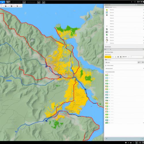
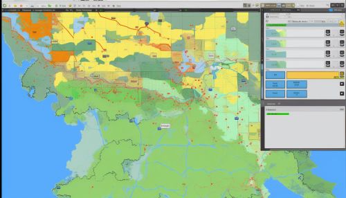
QGIS (Quantum Geographic Information System) is a free and open-source cross-platform desktop geographic information system (GIS) application that supports viewing, editing, and analysis of geospatial data. QGIS functions as geographic information system (GIS) software, allowing users to analyze and edit spatial information, in addition to composing and exporting graphical maps. QGIS supports both raster and vector layers; vector data is stored as either point, line, or polygon features.
History
QGIS was initially developed in May 2002 by Gary Sherman, who wished to create a user-friendly, open-source GIS software that would run on Linux. The first fully functional version of the software was released in January 2009, and since then, QGIS has been continually updated and improved by a team of dedicated developers and community members.
Features
QGIS offers a variety of features that make it a versatile tool for GIS analysis. These include:
- Support for Multiple Data Formats: QGIS supports a wide range of raster, vector, and database formats. This includes GeoTIFF, PostGIS, and GRASS GIS, among others.
- Spatial Analysis: QGIS provides a suite of tools for performing spatial analysis. This includes tools for vector analysis, raster analysis, and geoprocessing tools to perform operations such as buffering and overlays.
- Map Composition: QGIS allows users to create maps that can be printed or exported to common graphic file formats. Users can control the appearance of their maps, including the symbology and layout.
- Plugins: QGIS has a plugin architecture that allows for the extension of its functionality. Plugins can be written in Python or C++, and there is a repository of plugins available that can be easily installed and used within QGIS.
Usage
QGIS is used by a wide range of individuals and organizations. This includes government agencies, non-profit organizations, research institutions, and private businesses. It is used for a variety of applications, including land use planning, natural resource management, and spatial data analysis.
Future Development
The development of QGIS is guided by the QGIS Project Steering Committee (PSC), which is composed of elected members from the QGIS community. The PSC sets the project's roadmap, makes decisions about new features and improvements, and oversees the release of new versions of QGIS. The development of QGIS is largely driven by its community of users, who contribute to the software by reporting bugs, suggesting new features, and writing code.
See Also


