GRASS GIS
Introduction
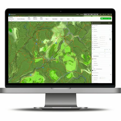
GRASS GIS (Geographic Resources Analysis Support System) is a free and open-source Geographic Information System software suite used for geospatial data management and analysis, image processing, graphics and maps production, spatial modeling, and visualization. GRASS GIS is currently maintained by the Open Source Geospatial Foundation, with its first version released in 1984.
History
GRASS GIS was developed by the U.S. Army - Corps of Engineers as a tool for land management and environmental planning. The software was officially released to the public domain in 1995 and has been developed by a global team of volunteers ever since. It was one of the first open-source GIS software available and continues to be widely used around the world.
Features
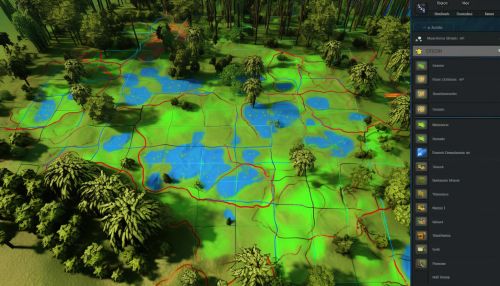
GRASS GIS provides a wide range of functionalities including raster and vector data handling, image processing, data management, and geospatial analysis. The software supports both 2D and 3D raster data, vector data, and also includes tools for geostatistics. Users can perform both simple and complex spatial analyses including query and visualization, topological analysis, and spatial statistics. GRASS GIS also supports the creation of maps, graphs, and charts.
Architecture
GRASS GIS operates on multiple platforms including Windows, Mac OS, and Linux. It includes over 350 modules for processing and analyzing geospatial data. The software architecture of GRASS GIS is designed to be modular and extensible, allowing for the addition of new functionality through the development of new modules.
Applications
GRASS GIS is used in many sectors including environmental management, urban planning, and geospatial research. It is also used in academia for teaching and research purposes. The software has been used to model soil erosion, simulate floods, and assess wildfire risk, among other applications.
Future Developments
The development of GRASS GIS continues to be driven by a community of volunteers. Future developments are expected to include improvements to the software's user interface, increased functionality for processing large datasets, and enhanced compatibility with other GIS software.
See Also
- Geographic Information System (GIS) - Open Source Geospatial Foundation (OSGeo) - Geospatial analysis - Raster data - Vector data


