ArcGIS
Overview
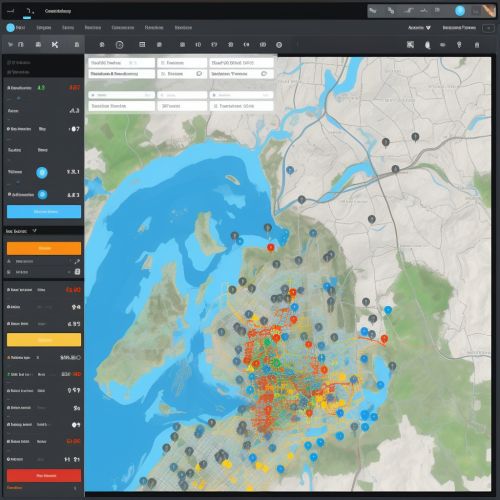
ArcGIS is a geographic information system (GIS) software developed by Esri. It is used for creating and managing geographic data, generating maps, and performing spatial analysis. The software is available in various forms, including desktop, server, and online versions. It provides tools for data management, visualization, analysis, and integration with other systems.
History
ArcGIS was first released in 1999 as a successor to Arc/INFO, a command line based GIS software. The initial release of ArcGIS aimed to provide a more user-friendly interface with the same powerful GIS capabilities. Over the years, ArcGIS has evolved to incorporate new technologies and functionalities, including support for geodatabases, web services, and spatial analytics tools.
Components
ArcGIS consists of several integrated applications, each designed for specific GIS tasks.
ArcGIS Desktop
ArcGIS Desktop is the primary application used for data creation, editing, analysis, and visualization. It consists of three main components: ArcMap, ArcCatalog, and ArcToolbox.
- ArcMap is the main component used for map creation and spatial analysis. It provides a wide range of tools for symbolizing and displaying spatial data, as well as performing complex spatial analyses.
- ArcCatalog is used for data management tasks, such as creating and managing geodatabases, setting data properties, and organizing GIS data.
- ArcToolbox contains a collection of geoprocessing tools, which are used for spatial analysis, data conversion, and data management tasks.
ArcGIS Server
ArcGIS Server is a web server application that allows users to create and manage web-based GIS applications. It provides a platform for sharing GIS resources, such as maps, geodatabases, and tools, over the web.
ArcGIS Online
ArcGIS Online is a cloud-based platform for creating and sharing GIS content. It provides a platform for users to create web maps, perform spatial analysis, and share GIS resources with others.
Functionality
ArcGIS provides a wide range of functionalities for working with geographic data.
Data Management
ArcGIS supports a wide range of geographic data formats, including vector data, raster data, and geodatabases. It provides tools for creating, editing, and managing geographic data.
Visualization
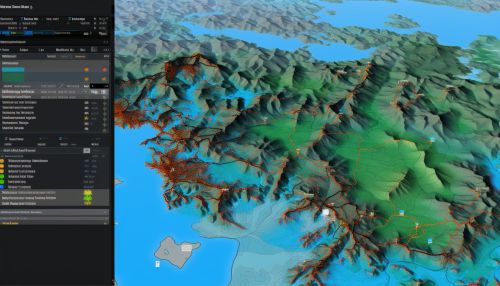
ArcGIS provides a variety of tools for visualizing geographic data. Users can create maps with multiple layers, symbolize data based on attributes, and create interactive map applications.
Analysis
ArcGIS includes a comprehensive set of spatial analysis tools. These include tools for overlay analysis, network analysis, spatial statistics, and more.
Integration
ArcGIS can be integrated with other systems and technologies. This includes integration with databases, web services, and other software applications.
Usage
ArcGIS is used in a wide range of fields, including urban planning, environmental science, transportation, and more. It is used by government agencies, businesses, and researchers for a variety of tasks, including mapping, spatial analysis, and data management.
See Also


