Geographic Technology Discussion
Introduction
Geographic technology, also known as Geospatial technology, encompasses a broad range of tools and processes used to understand and analyze the Earth's physical and cultural phenomena. This field includes Geographic Information Systems (GIS), Remote Sensing (RS), Global Positioning Systems (GPS), and Cartography. These technologies have revolutionized the way we visualize, understand, and interpret spatial data.


Geographic Information Systems (GIS)
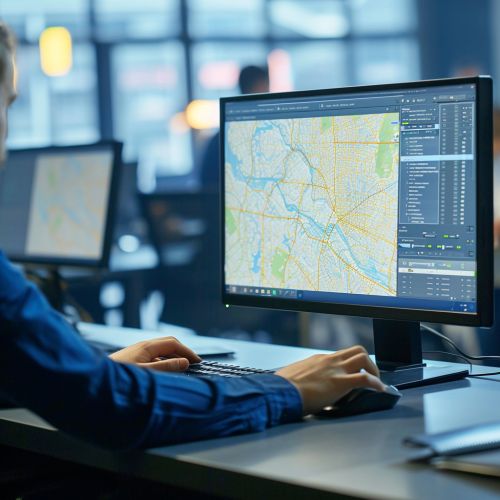
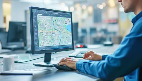
Geographic Information Systems (GIS) are computer-based tools used to store, visualize, analyze, and interpret geographic data. Geographic data (also known as geospatial data) refers to information that identifies the geographic location of features and boundaries on Earth, such as natural or constructed features, oceans, and more. GIS technology can be used for scientific investigations, resource management, asset management, environmental impact assessment, urban planning, cartography, criminology, history, sales, marketing, and logistics.
Components of GIS
A GIS system is made up of several key components: hardware, software, data, people, and methods. The hardware refers to the computer system on which the GIS software operates. The software provides the tools and functions to store, analyze, and display geographic information. Data can be any information that can be associated with a location on the globe, or more simply anything that can be mapped. People are the most important component of GIS, including both the system's users and those who will benefit from the information it provides. Finally, the methods refer to the procedures and techniques that govern the use and outcome of the GIS.
Remote Sensing (RS)
Remote Sensing is the process of detecting and monitoring the physical characteristics of an area by measuring its reflected and emitted radiation at a distance from the targeted area. It is a key process in geographic technology, used to collect data about the Earth's surface without physically touching it. This technology is used in numerous fields such as meteorology, geology, agriculture, and defense.
Types of Remote Sensing
There are two main types of remote sensing: passive and active. Passive remote sensing involves the detection of radiation that is naturally reflected or emitted by the object being observed. Active remote sensing, on the other hand, involves the transmission of a signal that is then reflected off the object and returned to the sensor.
Global Positioning Systems (GPS)
Global Positioning Systems (GPS) are a satellite-based navigation system made up of a network of 24 satellites placed into orbit by the U.S. Department of Defense. GPS works in any weather conditions, anywhere in the world, 24 hours a day. There are no subscription fees or setup charges to use GPS.
How GPS Works
GPS satellites circle the earth twice a day in a precise orbit. Each satellite transmits a unique signal and orbital parameters that allow GPS devices to decode and compute the precise location of the satellite. GPS receivers use this information to calculate the user's exact location. Essentially, the GPS receiver compares the time a signal was transmitted by a satellite with the time it was received. The time difference tells the GPS receiver how far away the satellite is.
Cartography
Cartography is the science and art of making maps, which are graphic representations of geographical information. Cartography involves a combination of aesthetic elements such as color and design with scientific elements such as scale and projection. The field has evolved significantly with the advent of geographic technology, moving from hand-drawn maps to sophisticated digital maps that can be manipulated and analyzed with GIS.
Modern Cartography
Modern cartography largely involves the use of computers and GIS, which allow for the analysis and display of spatial data in a digital format. This has revolutionized the field, allowing for the creation of interactive maps that can be easily updated and manipulated to display a variety of information.
Conclusion
Geographic technology plays a crucial role in our understanding of the world. From the creation of detailed maps to the analysis of spatial data for various industries, these technologies provide invaluable tools for interpreting and visualizing geographic information.
