Geospatial technology
Introduction
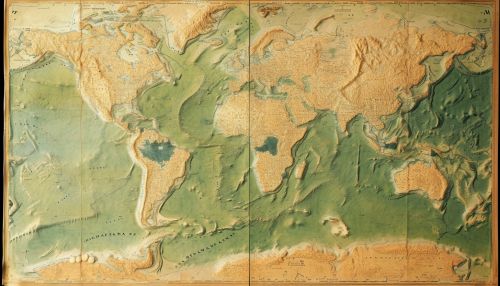
Geospatial technology refers to equipment used in visualization, measurement, and analysis of earth's features, typically involving such systems as GPS, GIS, and Remote Sensing. The term has been tied to various fields such as surveying, geography, engineering, planning, and computer science, among others.
History and Development
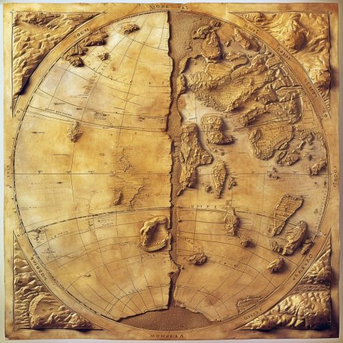
The history of geospatial technology is a long and varied one, with roots in the ancient practice of cartography. The first instances of geospatial technology can be traced back to early maps, which were among the first attempts to represent the Earth's features accurately. However, the field has evolved significantly with the advent of modern computing and data collection technologies.


Components of Geospatial Technology
Geospatial technology encompasses several key components, each of which plays a crucial role in the collection, analysis, and interpretation of spatial data.
Global Positioning System (GPS)
GPS is a satellite-based navigation system that provides accurate position and time information in all weather conditions, anywhere on or near the Earth where there is an unobstructed line of sight to four or more GPS satellites.
Geographical Information System (GIS)
GIS is a system designed to capture, store, manipulate, analyze, manage, and present spatial or geographic data. It is a powerful tool for collecting, managing, and analyzing data.
Remote Sensing
Remote sensing is the acquisition of information about an object or phenomenon without making physical contact with the object. This is achieved by detecting and measuring the radiation that is reflected or backscattered from the object.
Applications of Geospatial Technology
Geospatial technology has a wide range of applications in various fields. These include, but are not limited to, the following:
Environmental Monitoring
Geospatial technology plays a crucial role in environmental monitoring. This includes tracking changes in the environment, predicting weather patterns, and monitoring natural disasters such as earthquakes and floods.
Urban Planning
Urban planners use geospatial technology to create and update maps of land use for towns and cities. This helps in the planning and development of urban areas.
Transportation
In the transportation sector, geospatial technology is used for route planning, fleet management, and logistics.
Agriculture
In agriculture, geospatial technology is used for precision farming, crop monitoring, and soil analysis.
Future of Geospatial Technology
The future of geospatial technology is promising, with advancements in areas such as artificial intelligence, machine learning, and big data analytics playing a significant role in shaping the future of this field.
