The Role of Geoinformatics in Water Resource Management
Introduction
Geoinformatics, a discipline that uses Geographic Information Systems (GIS) and other tools to understand and interpret geographical data, plays a crucial role in water resource management. This field combines geospatial analysis and modeling, remote sensing, and global positioning systems (GPS) to gather and analyze data. This information is then used to manage and preserve water resources, ensuring their sustainable and equitable use.


Geoinformatics: An Overview
Geoinformatics is an interdisciplinary field that uses computer science and information technology to gather, process, and interpret geographic data. It combines aspects of geography, computer science, statistics, and cartography to create a comprehensive understanding of spatial phenomena. The field is primarily concerned with the collection, analysis, and presentation of geographic information.
Role of Geoinformatics in Water Resource Management
Water resource management is a complex task that requires accurate and timely information about the availability, quality, and demand for water in a given area. Geoinformatics provides the necessary tools and techniques to collect and analyze this information, making it an essential component of effective water resource management.
Data Collection
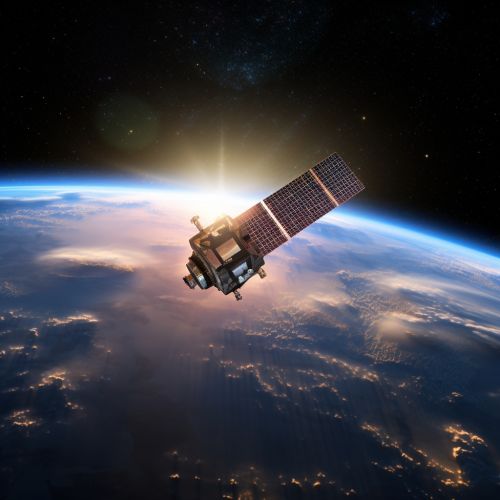
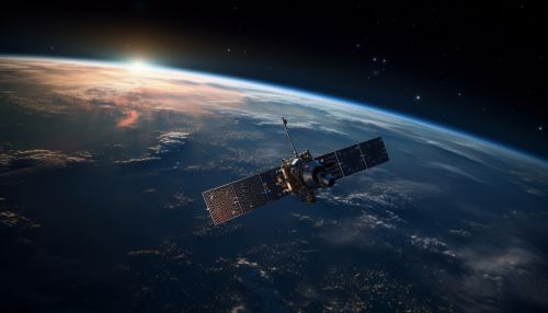
Geoinformatics tools such as remote sensing, GIS, and GPS are used to collect data on various aspects of water resources. This includes information on water availability, quality, usage, and demand. These tools allow for the collection of large amounts of data over large areas, making them ideal for water resource management.


Data Analysis
Once the data is collected, it is analyzed using geoinformatics techniques. This includes spatial analysis, which involves examining the geographic distribution of water resources, and temporal analysis, which looks at changes in water resources over time. These analyses can help identify trends and patterns, which can inform management decisions.
Decision-Making
The information gathered and analyzed through geoinformatics can be used to make informed decisions about water resource management. This can include decisions about where to allocate resources, how to manage water usage, and how to plan for future water needs. By providing accurate and up-to-date information, geoinformatics can help ensure that these decisions are based on the best available data.


Applications of Geoinformatics in Water Resource Management
Geoinformatics has a wide range of applications in water resource management. These include:
Water Quality Monitoring
Geoinformatics can be used to monitor the quality of water resources. This can involve using remote sensing to detect pollutants in water bodies, or using GIS to map the distribution of water quality indicators.
Flood Risk Assessment
By analyzing geographic data, geoinformatics can help assess the risk of flooding in a given area. This can inform decisions about flood prevention and mitigation strategies.
Drought Monitoring
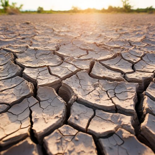
Geoinformatics can also be used to monitor drought conditions. This can involve analyzing satellite data to assess soil moisture levels, or using GIS to map the distribution of drought conditions.


Water Supply Planning
By providing information on water availability and demand, geoinformatics can inform water supply planning. This can involve using GIS to map water resources and demand, or using remote sensing to monitor changes in water availability.
Conclusion
Geoinformatics plays a vital role in water resource management. By providing the tools and techniques to collect and analyze geographic data, it allows for informed decision-making about the allocation and use of water resources. As water scarcity becomes an increasingly pressing issue, the role of geoinformatics in water resource management is likely to become even more important.
