Geography
Introduction
Geography is the study of places and the relationships between people and their environments. It seeks to understand where things are found, why they are there, and how they develop and change over time. As an integrative discipline, geography bridges the physical and the human dimensions of the world in the broadest possible sense. Physical geographers study patterns of climates, landforms, vegetation, soils, and water, while human geographers examine the spatial distribution of human activity and its relationship with the environment.
Physical Geography
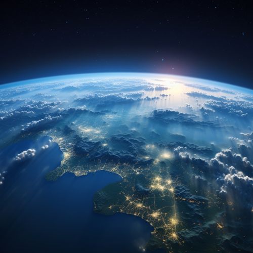
Physical geography involves the study of the natural environment and the physical processes that shape the Earth's surface. It includes the study of the atmosphere, hydrosphere, lithosphere, and biosphere.
Atmosphere
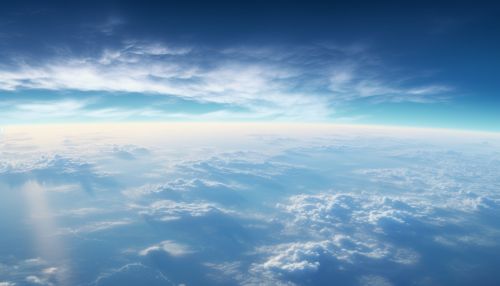
The atmosphere is the layer of gases surrounding the Earth, retained by the planet's gravitational pull. It protects life on Earth by absorbing ultraviolet solar radiation and reducing temperature extremes between day and night. The study of the atmosphere, known as meteorology, includes weather patterns, climate trends, and atmospheric conditions.
Hydrosphere
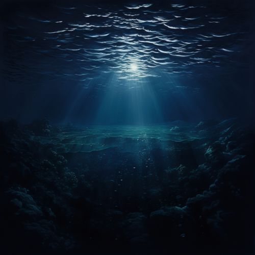
The hydrosphere encompasses all water on Earth, including oceans, seas, rivers, lakes, groundwater, and ice caps. Oceanography, the study of the ocean, covers a wide range of topics, including marine organisms and ecosystem dynamics, ocean currents and waves, and plate tectonics and the geology of the seafloor.

Lithosphere
The lithosphere consists of the Earth's crust and upper mantle. It is broken into tectonic plates whose movement causes earthquakes, volcanic activity, and the creation of mountain ranges and ocean trenches. The study of the Earth's solid material and structures is known as geology.
Biosphere
The biosphere includes all living organisms on Earth, together with the dead organic matter produced by them. It ranges from the depths of the ocean to the upper reaches of the atmosphere where birds and insects can be found. The study of the interactions between organisms and their environment is known as ecology.
Human Geography
Human geography is concerned with the spatial aspects of human existence - how people and their activity are distributed in space, how they use and perceive space, and how they create and sustain the places that make up the Earth's surface. Human geographers work in the fields of urban and regional planning, transportation, marketing, real estate, tourism, and international business.


Urban Geography
Urban geography is the study of cities and urban areas, their impact on the environment, and the effects of urbanization and urban living on individuals and communities. It includes the study of the location, growth, and organization of cities and towns and the complex problems of urban areas.
Economic Geography
Economic geography is the study of the location, distribution, and spatial organization of economic activities. It includes the study of global economic trends, the distribution of resources, and the location of industries and services.
Political Geography
Political geography is the study of the spatial distribution of political phenomena and processes. It includes the study of political systems, international relations, and the impact of political structures on environmental and social issues.
Geographical Techniques and Tools
Geographers use a variety of tools and techniques in their work, including Geographic Information Systems (GIS), Remote Sensing, and Global Positioning Systems (GPS).
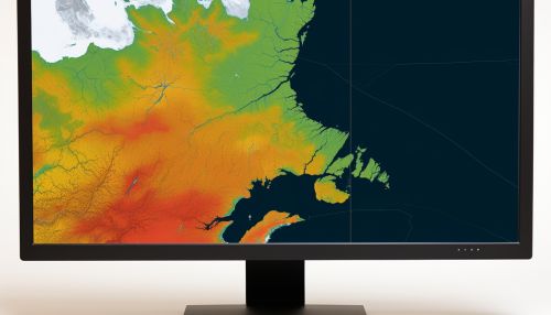
Geographic Information Systems
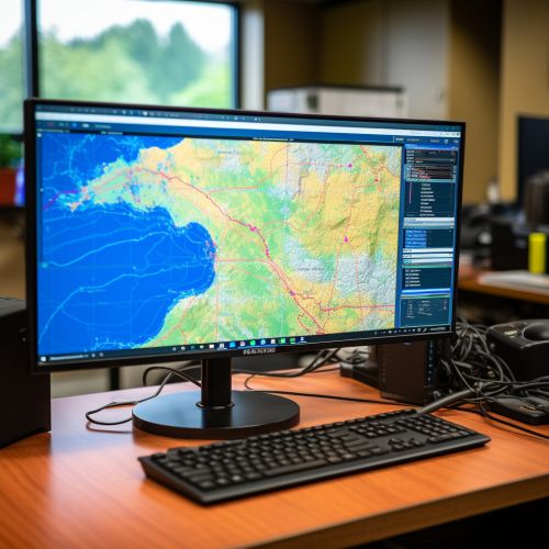
Geographic Information Systems (GIS) are computer systems that capture, store, check, and display data related to positions on the Earth's surface. GIS can show many different kinds of data on one map, allowing users to more easily see, analyze, and understand patterns and relationships.
Remote Sensing
Remote sensing is the acquisition of information about an object or phenomenon without making physical contact with the object. In modern usage, the term generally refers to the use of aerial sensor technologies to detect and classify objects on Earth.
Global Positioning Systems
Global Positioning Systems (GPS) are used for determining an accurate position on Earth and for navigation and mapping. GPS works by providing information on exact location, as well as tracking movement and providing a highly accurate time reference.
