The Role of Geoinformatics in Predicting Land Degradation
Introduction
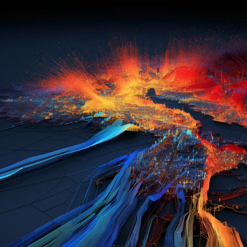
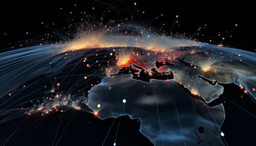
Geoinformatics, also known as geospatial informatics, is the science and technology of gathering, analyzing, interpreting, distributing, and using geographic information. It involves the use of technologies such as Geographic Information Systems (GIS), Remote Sensing, and Global Positioning Systems (GPS) to examine spatial relationships and patterns on the Earth's surface. One of the key applications of geoinformatics is in predicting land degradation, a global issue that threatens the sustainability of our environment and the livelihoods of billions of people.


Land Degradation: An Overview
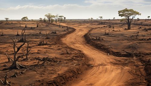
Land degradation refers to the process by which the value of the biophysical environment is affected by one or more combination of human-induced processes acting upon the land. It is viewed as any change or disturbance to the land perceived to be deleterious or undesirable. This includes soil erosion, desertification, deforestation, loss of biodiversity, and chemical pollution. Predicting land degradation is crucial for sustainable land management and conservation efforts.

Role of Geoinformatics in Predicting Land Degradation
Geoinformatics plays a significant role in predicting land degradation by providing tools and techniques to analyze and interpret spatial data. These tools can help scientists and researchers identify areas at risk of degradation, monitor changes over time, and develop strategies to prevent or mitigate the impacts of degradation.
Geographic Information Systems (GIS)
Geographic Information Systems (GIS) is a powerful tool in predicting land degradation. GIS allows for the integration, analysis, and visualization of spatial data. It can be used to create detailed maps of land use, soil type, vegetation cover, and other factors that contribute to land degradation. By analyzing these factors, researchers can identify areas at risk and predict future changes.

Remote Sensing
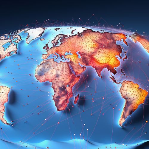
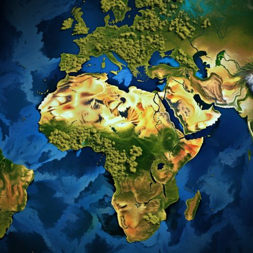
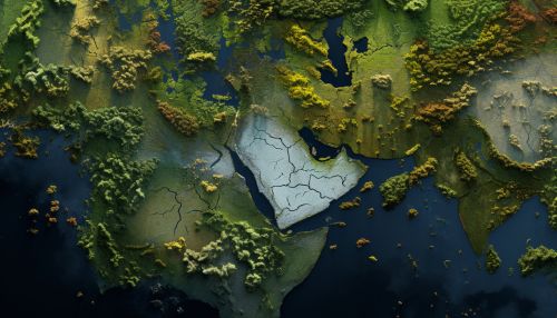
Remote sensing is another key technology in geoinformatics. It involves the use of satellite or aircraft-based sensor technologies to detect and classify objects on Earth. Remote sensing provides valuable data on land cover, vegetation health, soil moisture, and other variables related to land degradation. This data can be used to monitor changes over time and predict future degradation.
Global Positioning Systems (GPS)
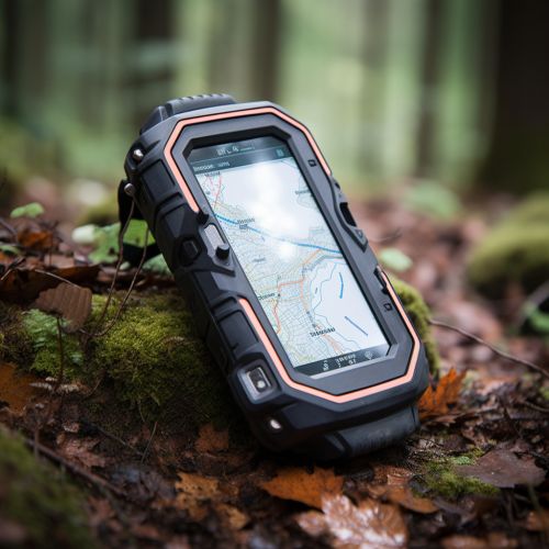
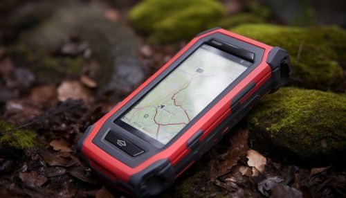
Global Positioning Systems (GPS) are used in conjunction with GIS and remote sensing to provide accurate location data. This can help in tracking the movement of soil, water, and other materials, which can contribute to land degradation. GPS data can also be used to monitor changes in land use and vegetation cover over time, providing valuable information for predicting land degradation.
Challenges and Future Directions
While geoinformatics provides powerful tools for predicting land degradation, there are several challenges that need to be addressed. These include the need for high-quality, up-to-date spatial data, the complexity of integrating and analyzing multiple data sources, and the need for more sophisticated predictive models. Despite these challenges, the field of geoinformatics continues to evolve, with advances in technology and methodology promising to improve our ability to predict and manage land degradation.
