The Role of Geoinformatics in Climate Change Analysis
Introduction
Geoinformatics, also known as geospatial informatics or geomatics, is a scientific discipline that uses data and information to solve complex problems related to the Earth's systems. One of the critical applications of geoinformatics is in the field of climate change analysis. This article will delve into the role of geoinformatics in climate change analysis, exploring how this technology aids in understanding, predicting, and mitigating the effects of climate change.

Geoinformatics: An Overview
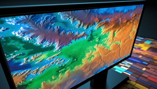
Geoinformatics is a multidisciplinary field that combines aspects of computer science, geography, cartography, and statistics. It involves the collection, analysis, and interpretation of data related to the Earth's surface. This data can be used to create detailed maps, predict weather patterns, manage natural resources, and analyze environmental changes, among other applications.


Climate Change Analysis
Climate change analysis is a scientific process that involves studying the variations in the Earth's climate over time. It includes examining historical weather data, modeling future climate scenarios, and assessing the potential impacts of climate change on various aspects of human life and the environment.
Role of Geoinformatics in Climate Change Analysis
Data Collection
Geoinformatics plays a vital role in collecting data for climate change analysis. Tools such as remote sensing and Geographical Information Systems (GIS) are used to gather data on various environmental parameters, such as temperature, precipitation, vegetation cover, and atmospheric composition. This data is crucial for understanding the current state of the Earth's climate and predicting future changes.


Data Analysis
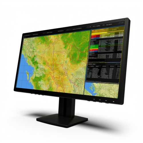
Once the data is collected, geoinformatics tools are used to analyze it. GIS, for instance, can be used to overlay different data layers, such as temperature and precipitation, to identify patterns and trends. Similarly, statistical software can be used to analyze the data and draw conclusions about the causes and effects of climate change.
Climate Modeling
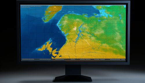
Geoinformatics is also used in climate modeling, a process that involves creating computer simulations of the Earth's climate system. These models can be used to predict future climate scenarios based on different greenhouse gas emission levels. The accuracy of these models is crucial for planning mitigation and adaptation strategies.


Impact Assessment
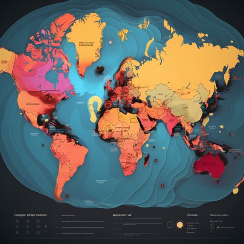
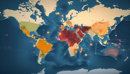
Finally, geoinformatics is used in assessing the potential impacts of climate change. This involves using GIS and other tools to analyze how changes in climate variables, such as temperature and precipitation, could affect various aspects of human life and the environment, such as agriculture, water resources, and biodiversity.
Conclusion
In conclusion, geoinformatics plays a critical role in climate change analysis. It provides the tools and techniques necessary for collecting and analyzing data, modeling climate scenarios, and assessing the potential impacts of climate change. As climate change continues to pose a significant threat to our planet, the importance of geoinformatics in understanding and addressing this issue cannot be overstated.
