Sentinel (satellite)
Overview
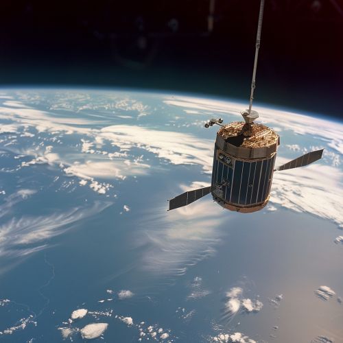
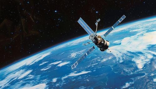
The Sentinel is a family of satellites that are part of the Copernicus Programme, which is an initiative led by the European Commission in partnership with the European Space Agency. The Sentinel satellites are designed to deliver a vast amount of data and imagery that are used for a variety of applications, including monitoring the environment, understanding and mitigating the effects of climate change, and ensuring civil security.


Design and Development
The design and development of the Sentinel satellites were carried out by a consortium of European companies, led by Thales Alenia Space and Airbus Defence and Space. The satellites are designed to be highly robust and reliable, with a lifespan of approximately 7-12 years depending on the specific model. They are equipped with a variety of advanced instruments and sensors that allow them to capture high-resolution imagery and data in a variety of spectral bands.
Sentinel-1
The Sentinel-1 satellite is a polar-orbiting, all-weather, day-and-night radar imaging mission for land and ocean services. It provides data in a variety of modes and resolutions, allowing for flexible use in a wide range of applications. The satellite operates in four imaging modes: stripmap, interferometric wide swath, extra-wide swath, and wave.
Sentinel-2
The Sentinel-2 satellite is a polar-orbiting, multispectral high-resolution imaging mission for land monitoring. It provides imagery of vegetation, soil and water cover, inland waterways, and coastal areas. The satellite has a wide swath width of 290 km and a high revisit time of 5 days at the equator.
Sentinel-3
The Sentinel-3 satellite is a multi-instrument mission to measure sea-surface topography, sea and land surface temperature, and ocean and land surface colour with high accuracy and reliability. The mission supports ocean forecasting systems, as well as environmental and climate monitoring.
Sentinel-4
The Sentinel-4 satellite is a payload to be carried on board the Meteosat Third Generation-Sounder (MTG-S) satellite. It is dedicated to atmospheric monitoring and will provide high-resolution imagery of atmospheric constituents such as ozone, nitrogen dioxide, sulfur dioxide, and aerosols.
Sentinel-5
The Sentinel-5 satellite is a payload to be carried on board the MetOp Second Generation satellites. It is dedicated to atmospheric monitoring and will provide high-resolution imagery of atmospheric constituents such as nitrogen dioxide, ozone, formaldehyde, sulfur dioxide, methane, carbon monoxide and aerosols.
Sentinel-6
The Sentinel-6 satellite, also known as Jason-CS (Continuity of Service), is a multi-partner program to provide high-precision altimetry data for operational oceanography and climate studies. It will ensure continuity with the Jason series of satellites.
Applications
The data and imagery provided by the Sentinel satellites are used in a wide range of applications. These include monitoring land surface for vegetation, soil and water cover, inland waterways and coastal areas; monitoring the atmosphere for air quality and ozone layer; and providing data for emergency services for natural disasters and humanitarian crises.
