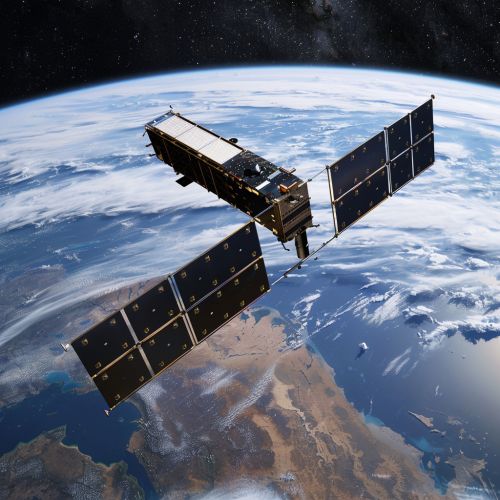
Sentinel-3
Overview
The European Space Agency's (ESA) Sentinel-3 is an Earth observation mission in the Copernicus Programme, operated in conjunction with EUMETSAT. The mission is focused on providing measurements of sea-surface topography, sea and land surface temperature, and ocean and land surface colour with high-end accuracy and reliability. The mission's data is freely available to the public and contributes to the understanding of long-term climate change and helps in everyday matters such as marine pollution and agricultural management.


Mission Objectives
The primary objectives of the Sentinel-3 mission are to measure sea-surface topography, sea and land surface temperature, and ocean and land surface colour. These measurements are used for ocean forecasting systems, environmental monitoring, and climate monitoring. The mission provides data continuity for the ERS, Envisat and SPOT satellites.
Satellite Description
The Sentinel-3 mission consists of two identical satellites, Sentinel-3A and Sentinel-3B, launched in 2016 and 2018 respectively. Each satellite is equipped with a suite of cutting-edge instruments including the Ocean and Land Colour Instrument (OLCI), the Sea and Land Surface Temperature Radiometer (SLSTR), and the Synthetic Aperture Radar Altimeter (SRAL). These instruments work in unison to provide a comprehensive view of Earth's land and sea surfaces.
Instruments
Ocean and Land Colour Instrument (OLCI)
The OLCI is a medium-resolution imaging spectrometer that uses five cameras to provide a wide field of view. It measures light in 21 spectral bands and is used to monitor ocean ecosystems, detect water pollution, and monitor land use and vegetation health.
Sea and Land Surface Temperature Radiometer (SLSTR)
The SLSTR measures sea and land surface temperature to an accuracy of better than 0.3 K. It has a dual-view design which allows for more accurate atmospheric correction. The instrument is used for monitoring global warming, sea surface temperature, and forest fires.
Synthetic Aperture Radar Altimeter (SRAL)
The SRAL provides accurate topographic measurements over sea ice, ice sheets, rivers and lakes. It operates in two modes: a low-resolution mode for open ocean altimetry and a synthetic aperture radar mode for sea ice, coastal zones and land surfaces.
Data Products
The Sentinel-3 mission provides a variety of data products to support ocean, land, atmospheric, and climate applications. These include sea-surface height, significant wave height, wind speed, sea and land surface temperature, and colour data for ocean and land applications. The data is freely available to the public and can be accessed through the ESA's data hub.
Mission Status
As of 2021, both Sentinel-3A and Sentinel-3B are operational and continue to provide valuable data for a variety of applications. The mission is expected to continue until at least 2025, with the possibility of extension depending on the health of the satellites and the availability of funding.
