Sentinel-6
Overview
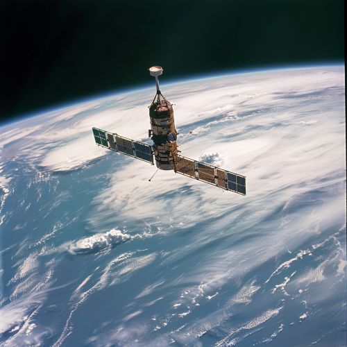
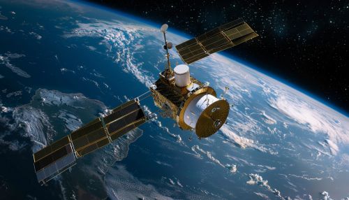
Sentinel-6, also known as Jason CS (Continuity of Service), is a series of two identical satellites launched by the European Space Agency (ESA) and the National Aeronautics and Space Administration (NASA) to monitor sea level changes. The mission is part of the Copernicus Programme, a long-term initiative for Earth observation and in situ data collection.


Mission Objectives
The primary objective of the Sentinel-6 mission is to measure the global sea level with high precision and reliability. This data is vital for climate research, operational oceanography, and seasonal forecasting. The mission also aims to provide atmospheric data to support weather forecasting and climate research.
Satellite Design
The Sentinel-6 satellites are designed and built by a consortium of companies led by Airbus Defence and Space. The satellites are equipped with a dual-frequency radar altimeter, a microwave radiometer, and other instruments to measure sea surface height, significant wave height, and wind speed over the oceans.
Launch and Orbit
The first Sentinel-6 satellite, Sentinel-6 Michael Freilich, was launched on 21 November 2020 from the Vandenberg Air Force Base in California, USA. The satellite was placed in a non-sun-synchronous low Earth orbit with an altitude of approximately 1336 kilometers.
The second satellite, Sentinel-6B, is scheduled for launch in 2025. Both satellites will follow the same ground track, ensuring the continuity of the data collected.
Data Collection and Usage
The data collected by the Sentinel-6 satellites is used by various institutions and researchers worldwide for a wide range of applications. These include climate research, operational oceanography, hurricane monitoring, and seasonal forecasting.
