Sentinel-2
Overview
The European Space Agency's (ESA) Sentinel-2 is a part of the Copernicus Programme, which is dedicated to monitoring the Earth's environment and security. The Sentinel-2 mission specifically focuses on the land surfaces, including vegetation, soil and water cover, inland waterways, and coastal areas. It also provides images of flooding, volcanic eruptions, and landslides to support disaster mapping.


Mission Objectives
The primary objective of Sentinel-2 is to provide high-resolution optical imagery for land services. This includes monitoring land cover changes, land use detection, and the observation of vegetation state. The mission also aims to provide information for emergency services, particularly in response to natural disasters.
Satellite Description
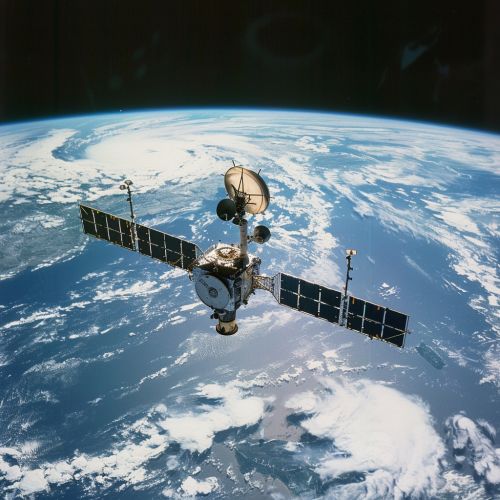
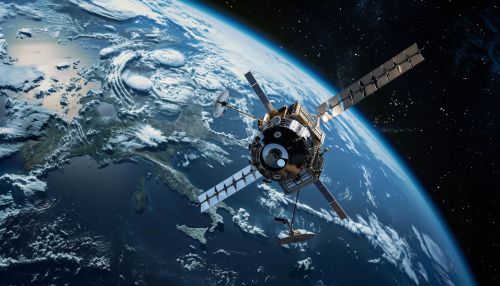
Sentinel-2 consists of two identical satellites, Sentinel-2A and Sentinel-2B, which were launched in June 2015 and March 2017 respectively. Each satellite carries a Multi-Spectral Instrument (MSI) that can capture images in 13 spectral bands. The satellites are designed to deliver high-resolution and wide-swath imagery with frequent coverage.
Multi-Spectral Instrument (MSI)
The Multi-Spectral Instrument is a key component of the Sentinel-2 mission. It is an optical instrument that is capable of capturing images in 13 spectral bands, ranging from visible light to shortwave infrared. The MSI provides a high level of detail, allowing for the detection of subtle changes in vegetation and land surfaces.
Data Products
The data products from Sentinel-2 are made available to users through the Copernicus Open Access Hub. These products include Level-1C and Level-2A data. Level-1C data is top-of-atmosphere reflectance in cartographic geometry, while Level-2A data is bottom-of-atmosphere reflectance in cartographic geometry. These data sets are used in a variety of applications, from agriculture and forestry to urban planning and disaster management.
Applications
The high-resolution imagery from Sentinel-2 is used in a wide range of applications. These include:
- Agriculture: Monitoring crop growth and health, assessing water demand, and managing resources.
- Forestry: Monitoring forest growth and health, assessing damage from pests or disease, and managing resources.
- Urban Planning: Monitoring urban growth, assessing changes in land use, and planning infrastructure.
- Disaster Management: Providing imagery for emergency response, monitoring recovery, and assessing damage.
