Sentinel-1
Overview
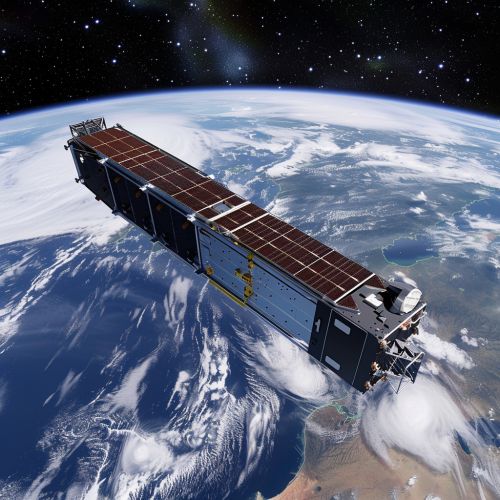
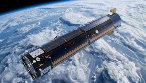
Sentinel-1 is a two-satellite mission to supply the coverage and data delivery needed for Europe's Copernicus programme. The global monitoring programme is designed for environment and security applications. The Sentinel-1 mission comprises a constellation of two polar-orbiting satellites, Sentinel-1A and Sentinel-1B, sharing the same orbit but phased at 180° to each other.


Mission Objectives
The primary objective of the Sentinel-1 mission is to provide routine, reliable, and timely information for operational services and applications in the fields of marine, land, and emergency response. The mission aims to provide all-weather, day-and-night radar imaging for land and ocean services.
Satellite Description
The Sentinel-1 satellites, Sentinel-1A and Sentinel-1B, are identical spacecrafts, each equipped with a C-band Synthetic Aperture Radar (SAR) instrument. The SAR instrument provides a number of operational modes allowing the choice between high resolution and wide swath coverage. The satellites are designed to operate in a pre-programmed manner, with the ability to downlink data to a number of ground stations around the world.
Operational Modes
The Sentinel-1 satellites operate in four exclusive acquisition modes: Strip Map (SM), Interferometric Wide Swath (IW), Extra Wide Swath (EW), and Wave (WV). Each mode offers different capabilities in terms of coverage, resolution, and observation time, allowing for a wide range of applications.
Applications
Sentinel-1 data is used in various applications including:
- Marine monitoring: The mission provides information for maritime safety services, such as ice charting, oil spill detection, and ship detection.
- Land monitoring: The mission supports services related to the monitoring of subsidence and landslides, and the mapping of land cover for agriculture and forestry.
- Emergency response: The mission supports services related to mapping areas affected by natural disasters such as floods and earthquakes.
Ground Segment
The Sentinel-1 Ground Segment is responsible for the reception, processing, and distribution of Sentinel-1 data. The Ground Segment comprises the Flight Operations Segment (FOS) and the Payload Data Ground Segment (PDGS).
Future Developments
The Sentinel-1 mission is part of the larger Copernicus programme, which plans to launch a series of Sentinel missions designed to provide accurate, timely, and easily accessible information to improve the management of the environment, understand and mitigate the effects of climate change, and ensure civil security.
