The Role of Geoinformatics in Sustainable Forestry
Introduction
Geoinformatics, a discipline that combines geosciences and informatics, plays a pivotal role in sustainable forestry. This field utilizes Geographic Information Systems (GIS) and remote sensing technologies to collect, analyze, and visualize spatial data related to forests. The application of geoinformatics in sustainable forestry aids in forest management, conservation, and policy-making, ensuring the long-term health and productivity of forests while balancing ecological, economic, and social considerations.


Geoinformatics: An Overview
Geoinformatics is a multidisciplinary field that integrates informatics, geosciences, and many other related disciplines. It involves the collection, analysis, interpretation, distribution, and use of geographic information. Geoinformatics employs various tools and technologies, including GIS, remote sensing, Global Positioning Systems (GPS), and cartography, to study and manage spatial information.
Sustainable Forestry: An Overview
Sustainable forestry refers to the practice of managing forests in a way that maintains their biodiversity, productivity, regeneration capacity, vitality, and potential to fulfill ecological, economic, and social functions at local, national, and global levels. It involves implementing management practices that provide a sustainable flow of forest products and services without degrading the forest ecosystem.


Role of Geoinformatics in Sustainable Forestry
Geoinformatics plays a crucial role in sustainable forestry in several ways. It aids in forest mapping, inventorying, monitoring, and management, all of which are essential for sustainable forestry.
Forest Mapping
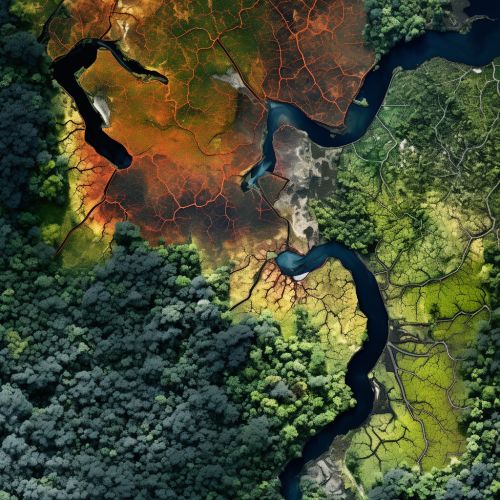
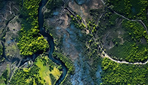
Geoinformatics provides tools for accurate and efficient forest mapping. GIS and remote sensing technologies enable the creation of detailed, up-to-date maps of forest areas, showing the distribution of different tree species, forest types, and other relevant features. These maps are vital for planning and implementing sustainable forestry practices.


Forest Inventorying
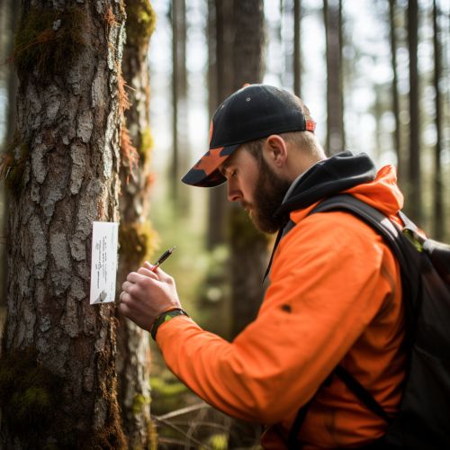
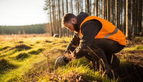
Geoinformatics aids in forest inventorying, which involves collecting data on the quantity and quality of forest resources. GIS and remote sensing technologies allow for the efficient collection and analysis of data on tree species, age, height, diameter, volume, and other attributes. This information is crucial for sustainable forest management, as it helps determine the sustainable yield of forest products.
Forest Monitoring
Geoinformatics is essential for forest monitoring, which involves tracking changes in forest conditions over time. Remote sensing technologies, such as satellite imagery and aerial photography, provide timely and accurate data on forest cover changes, deforestation, forest degradation, and reforestation. This information is vital for assessing the effectiveness of sustainable forestry practices and making necessary adjustments.


Forest Management
Geoinformatics supports sustainable forest management by providing tools for spatial decision-making. GIS enables the integration and analysis of various types of data, such as forest inventory data, socio-economic data, and environmental data, to support decision-making in forest management. This helps ensure that forest management practices are sustainable and meet the needs of current and future generations.
Conclusion
Geoinformatics, with its advanced tools and technologies, plays a vital role in sustainable forestry. It aids in forest mapping, inventorying, monitoring, and management, supporting the implementation of sustainable forestry practices. By leveraging geoinformatics, we can ensure the long-term health and productivity of our forests, contributing to ecological sustainability, economic prosperity, and social well-being.


