The Role of Geoinformatics in Sustainable Agriculture
Introduction
Geoinformatics, a discipline that uses Geographic Information Systems (GIS) and remote sensing technologies, plays a crucial role in sustainable agriculture. It provides a platform for the collection, analysis, and interpretation of spatial data, which is essential for planning and decision-making in agriculture. This article delves into the various ways in which geoinformatics contributes to sustainable agriculture.
Geoinformatics: An Overview
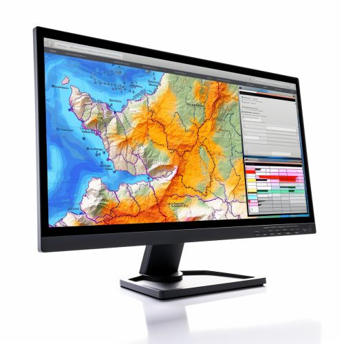
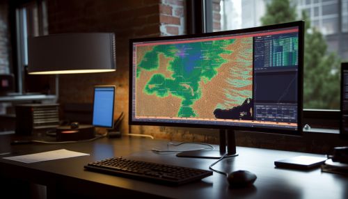
Geoinformatics is a multidisciplinary field that integrates geospatial analysis and modeling, data mining, software engineering, and web development. It uses various tools and techniques, including GIS, remote sensing, Global Positioning Systems (GPS), and cartography, to collect, store, process, and visualize geographic information.
Sustainable Agriculture: An Overview
Sustainable agriculture refers to farming practices that meet the current food and fiber needs without compromising the ability of future generations to meet their own needs. It involves the efficient use of resources, conservation of the environment, and the enhancement of farmer's quality of life. Sustainable agriculture aims to balance the goals of environmental health, economic profitability, and social and economic equity.
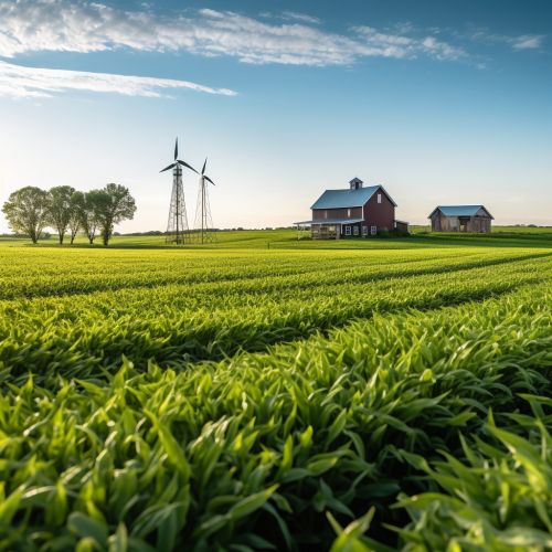
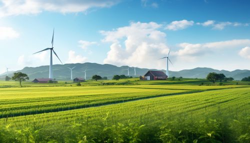
Role of Geoinformatics in Sustainable Agriculture
Precision Agriculture
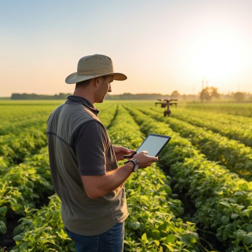
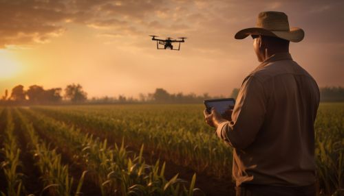
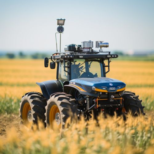
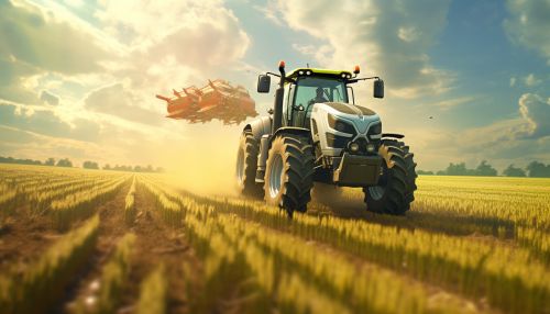
One of the primary applications of geoinformatics in agriculture is in the realm of precision agriculture. Precision agriculture involves the use of geospatial technologies to manage variability within fields, leading to more efficient use of inputs such as fertilizers and pesticides, and ultimately, more sustainable farming practices.
Soil Mapping and Analysis
Geoinformatics tools like GIS and remote sensing are used extensively for soil mapping and analysis. These tools help in identifying soil types, their nutrient status, and other properties, which are crucial for making informed decisions about crop selection and management.


Water Management
Geoinformatics plays a significant role in water management in agriculture. It helps in mapping and monitoring water resources, assessing irrigation needs, and planning irrigation systems. This leads to more efficient water use, which is a key aspect of sustainable agriculture.
Pest and Disease Management
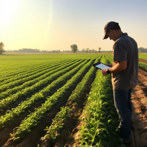
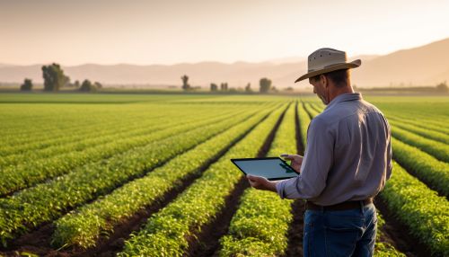
Geoinformatics can also aid in pest and disease management in agriculture. By mapping pest and disease occurrences and modeling their spread, farmers can take preventive measures and minimize the use of harmful pesticides.
Climate Change Adaptation
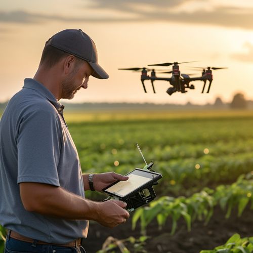
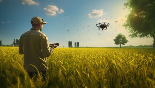
With the increasing threat of climate change, geoinformatics is becoming increasingly important for climate change adaptation in agriculture. It can help in predicting climate change impacts, identifying vulnerable areas, and planning adaptation strategies.


Conclusion
Geoinformatics, with its ability to collect, analyze, and visualize spatial data, plays a pivotal role in sustainable agriculture. It aids in precision farming, soil mapping and analysis, water management, pest and disease management, and climate change adaptation, among other things. By leveraging geoinformatics, farmers can make more informed decisions, leading to more efficient use of resources and more sustainable farming practices.
