The Role of Geoinformatics in Soil Erosion Prediction
Introduction
Geoinformatics, a discipline that combines geospatial analysis and informatics, plays a crucial role in predicting soil erosion. Soil erosion is a global environmental issue that affects the quality of land, water, and air. Predicting soil erosion is a complex task that requires the integration of various data sources and sophisticated modeling techniques. Geoinformatics provides the necessary tools and methodologies to handle this complexity and make accurate predictions.
Geoinformatics: An Overview
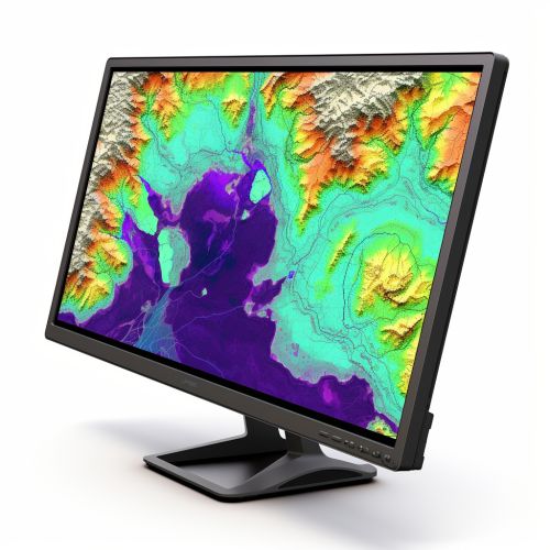
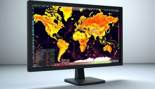
Geoinformatics is a multidisciplinary field that uses information technology to study problems in the realm of geosciences. It involves the collection, analysis, interpretation, distribution, and use of geospatial data. Geoinformatics combines geospatial analysis and modeling, remote sensing, and GIS (Geographic Information Systems). It provides a framework for gathering, managing, and analyzing data related to the Earth's surface.
Soil Erosion: A Global Concern
Soil erosion is a process that involves the removal of the topmost layer of soil by natural forces such as water and wind. It is a significant environmental problem as it degrades the quality of land, reduces agricultural productivity, and leads to sedimentation in water bodies. Soil erosion also contributes to the loss of biodiversity and increases the vulnerability of land to natural disasters.
The Role of Geoinformatics in Soil Erosion Prediction
Geoinformatics plays a crucial role in predicting soil erosion. It provides the necessary tools and methodologies to handle the complexity of soil erosion prediction and make accurate predictions. The following sections detail how geoinformatics aids in soil erosion prediction.
Data Collection
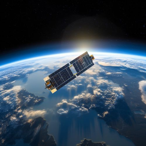
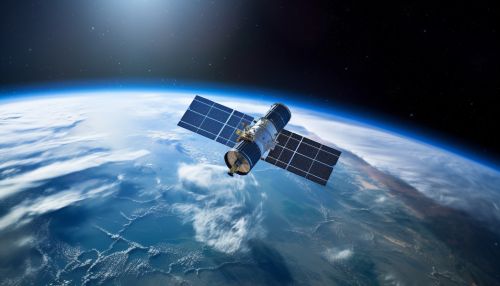
Geoinformatics aids in the collection of geospatial data necessary for soil erosion prediction. This data includes information about the topography, land use, soil type, and climate of the area under study. Remote sensing technologies, such as satellites and drones, are commonly used to collect this data.
Data Analysis
Once the data is collected, geoinformatics tools are used to analyze it. GIS is particularly useful in this regard. It allows for the integration of different types of data and provides tools for spatial analysis. This enables researchers to identify areas at high risk of soil erosion.


Modeling
Geoinformatics also aids in the development of models for soil erosion prediction. These models take into account various factors such as rainfall intensity, slope gradient, vegetation cover, and soil properties. They use this information to predict the rate and pattern of soil erosion.
Conclusion
Geoinformatics plays a vital role in predicting soil erosion. It provides the tools and methodologies necessary to collect and analyze geospatial data, and to develop sophisticated models for soil erosion prediction. By doing so, it aids in the identification of areas at high risk of soil erosion and helps in the planning of effective soil conservation strategies.
