The Role of Geoinformatics in Predicting Urban Expansion
Introduction
Geoinformatics, often referred to as geospatial information science, is a discipline that uses a comprehensive, geographic approach to provide qualitative and quantitative data about the earth and its environment. This field of study employs various tools and techniques, including GIS, remote sensing, and GPS, to gather and analyze spatial data. One of the critical applications of geoinformatics is in predicting urban expansion, a process that involves the growth and development of cities and towns.


Understanding Urban Expansion
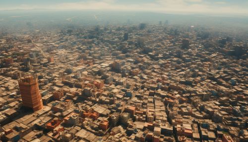
Urban expansion refers to the process by which cities and towns grow and develop over time. This growth can be in terms of population, economic activities, or physical size. Urban expansion is often a result of various factors, including population growth, economic development, and changes in land use patterns. It can have both positive and negative impacts on the environment, economy, and society.
Role of Geoinformatics in Predicting Urban Expansion
Geoinformatics plays a crucial role in predicting urban expansion. By using geospatial technologies, researchers and urban planners can analyze and model urban growth patterns, assess the impacts of urbanization, and develop strategies for sustainable urban development.
Data Collection
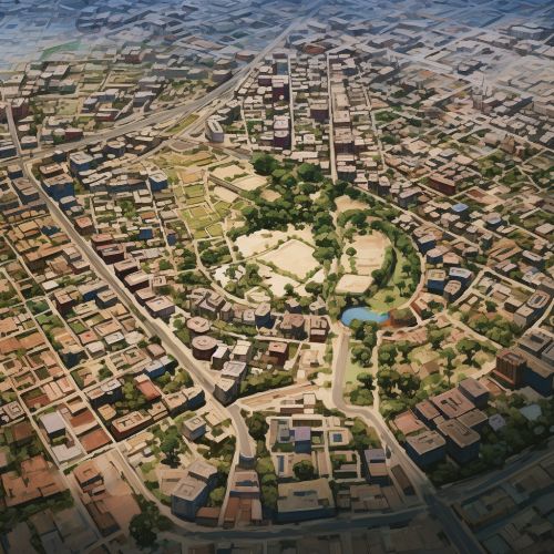
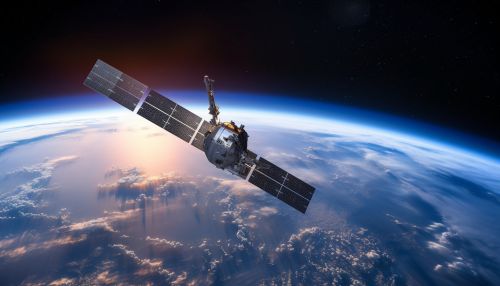
Geoinformatics provides a systematic approach to collecting, storing, managing, and analyzing spatial data. This data can be obtained from various sources, such as satellite imagery, aerial photographs, and ground surveys. For instance, remote sensing technology allows for the collection of data over large areas in a relatively short period, making it an efficient tool for monitoring urban expansion.


Data Analysis
Once the data is collected, it can be analyzed using GIS. This system allows for the integration of different types of data, such as demographic, socio-economic, and land use data, to create a comprehensive picture of urban growth patterns. GIS also provides tools for spatial analysis, such as overlay analysis, buffer analysis, and network analysis, which can help in understanding the dynamics of urban expansion.
Urban Growth Modeling
Geoinformatics also plays a significant role in urban growth modeling. These models use spatial data and statistical methods to predict future urban growth patterns. For instance, the cellular automata model, which is based on the concept of cells and their interactions with their neighbors, can be used to simulate urban expansion. Similarly, the agent-based model, which considers individual entities and their behaviors, can also be used to predict urban growth.


Implications of Predicting Urban Expansion
Predicting urban expansion has several implications for urban planning and management. It can help in identifying areas that are likely to experience rapid urbanization, assessing the impacts of urban growth on the environment and infrastructure, and developing strategies for sustainable urban development.
Urban Planning
Predicting urban expansion can provide valuable insights for urban planning. By understanding the patterns and drivers of urban growth, planners can make informed decisions about land use, infrastructure development, and resource allocation. For instance, if a particular area is predicted to experience rapid urbanization, planners can prioritize infrastructure development in that area to accommodate the anticipated growth.
Environmental Management
Urban expansion can have significant impacts on the environment, such as loss of natural habitats, increased pollution, and changes in local climate. By predicting urban expansion, environmental managers can assess these impacts and develop strategies to mitigate them. For instance, if an area of high biodiversity is predicted to be affected by urbanization, measures can be taken to protect and conserve that area.


Sustainable Development
Predicting urban expansion can also contribute to sustainable development. By understanding the dynamics of urban growth, strategies can be developed to promote compact, efficient, and sustainable urban forms. For instance, urban growth models can be used to simulate different scenarios of urban development and assess their sustainability in terms of resource use, environmental impact, and social equity.
Conclusion
Geoinformatics, with its ability to collect, analyze, and model spatial data, plays a crucial role in predicting urban expansion. By providing a comprehensive understanding of urban growth patterns, it can help in making informed decisions about urban planning, environmental management, and sustainable development. However, it is important to note that the accuracy of urban expansion predictions depends on the quality of data and the appropriateness of the models used. Therefore, continuous efforts are needed to improve data collection and modeling techniques in geoinformatics.


