The Role of Geoinformatics in Predicting Tsunami Risk
Introduction
Geoinformatics, the science of gathering, storing, processing, and delivering geographic information, plays a crucial role in predicting tsunami risk. This article delves into the technicalities of how geoinformatics aids in the prediction of tsunami risk, the tools and techniques involved, and the challenges faced in the process.


Geoinformatics and Tsunami Risk Prediction
Geoinformatics, a discipline that uses GIS and remote sensing, is instrumental in predicting tsunami risk. It enables the collection, analysis, and interpretation of data related to the Earth's surface, which is crucial in understanding the potential impact of a tsunami.
Data Collection
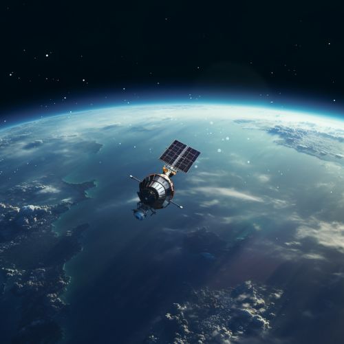
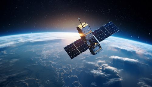
The first step in predicting tsunami risk involves collecting data about the Earth's surface and the ocean floor. This data is gathered using various techniques, including satellite imagery, seismology, and bathymetry. These techniques provide detailed information about the Earth's crust, the ocean floor, and seismic activity, which are all critical factors in tsunami generation.


Data Analysis
Once the data is collected, it is analyzed using GIS. GIS allows for the visualization, manipulation, and analysis of geospatial data. It can model potential tsunami scenarios based on the collected data, including the possible magnitude of the tsunami, its direction, and the areas it could potentially impact.


Risk Assessment
The final step in predicting tsunami risk involves assessing the potential impact of a tsunami. This includes determining the areas that are most at risk, the potential damage to infrastructure, and the potential loss of life. This information is crucial in planning for a potential tsunami and mitigating its impact.


Challenges in Predicting Tsunami Risk
Despite the advancements in geoinformatics, there are still challenges in predicting tsunami risk. These include the accuracy of data, the unpredictability of seismic activity, and the limitations of current technology.


Conclusion
Geoinformatics plays a critical role in predicting tsunami risk. It provides the tools and techniques necessary to collect and analyze data about the Earth's surface and the ocean floor, and to assess the potential impact of a tsunami. Despite the challenges, the field continues to evolve, providing ever more accurate and detailed predictions.


