Bathymetry
Introduction
Bathymetry is the study of underwater depth of ocean floors or lake floors. In other words, it is the underwater equivalent to hypsometry or topography. The term itself is derived from Greek words: "bathus" (deep) and "metron" (measure). Bathymetry is a key aspect of oceanographic studies, providing critical information about the terrain and depth of the ocean floor.
History
The history of bathymetry dates back to ancient times. Early cartographers and explorers would drop weighted lines into the water to measure the depth - a technique known as sounding. The first scientific bathymetric map was published by the British Admiralty in 1855, depicting the depth of the North Atlantic Ocean.
Techniques and Technologies
Over the years, bathymetric techniques and technologies have evolved significantly. Today, bathymetry primarily uses sonar (sound navigation and ranging) technology to map the sea floor. There are two main types of sonar used in bathymetry: single-beam and multibeam.
Single-Beam Sonar
Single-beam sonar sends out a single line of sound waves directly beneath a ship. The time it takes for the sound waves to bounce back provides data about the depth of the water. While this method is cost-effective and simple to use, it only provides data about a narrow strip of the sea floor.
Multibeam Sonar
Multibeam sonar, on the other hand, sends out a fan of sound waves that can map a large area of the sea floor at once. This method provides more comprehensive data, but is more complex and expensive to use.
Applications
Bathymetry has a wide range of applications, from navigation and fishing to scientific research and environmental monitoring. For example, bathymetric data is essential for the safe navigation of ships, helping to avoid underwater obstacles and shallow areas. In the field of marine biology, bathymetry can help researchers understand the distribution and behavior of marine species. Environmental scientists use bathymetry to monitor changes in sea level and the health of marine ecosystems.
Challenges and Limitations
Despite advances in technology, bathymetry still faces several challenges and limitations. For one, the vastness and depth of the world's oceans make it difficult to map the entire sea floor. Additionally, the accuracy of bathymetric data can be affected by factors such as water temperature, salinity, and pressure. Lastly, bathymetric mapping requires significant resources and expertise, which may not be available in all regions or countries.
Future Directions
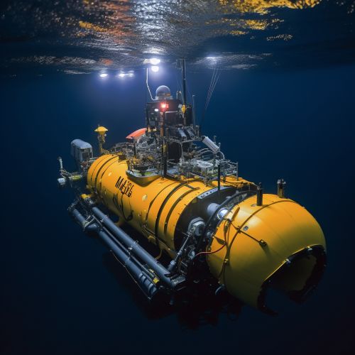
Looking ahead, the field of bathymetry is likely to continue evolving with advances in technology. For example, autonomous underwater vehicles (AUVs) and remote sensing technologies could potentially revolutionize bathymetric mapping. Furthermore, the increasing need for accurate and up-to-date bathymetric data for climate change research and marine conservation efforts is likely to drive further innovation and investment in this field.
See Also


