Satellite Imagery
Introduction
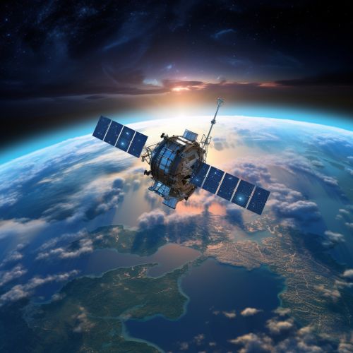
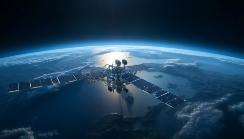
Satellite imagery refers to images of Earth or other planets collected by imaging satellites operated by governments and businesses around the world. Satellite imaging companies sell images by licensing them to governments and businesses such as Google Earth. Today, such images are freely available through online platforms, providing a powerful tool for research, monitoring, and discovery.
History
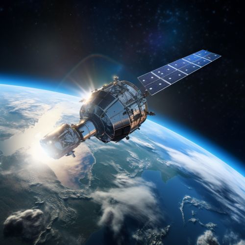
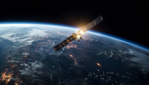
The history of satellite imagery can be traced back to the launch of the first artificial satellite, Sputnik 1, by the Soviet Union in 1957. However, it wasn't until the launch of the first weather satellite, TIROS-1, by NASA in 1960 that images of the Earth from space were first obtained. The technology has advanced significantly since then, with modern imaging satellites capable of capturing high-resolution images of the Earth's surface.
Types of Satellite Imagery
There are several types of satellite imagery, each with its own unique characteristics and uses. These include:
Optical Imagery
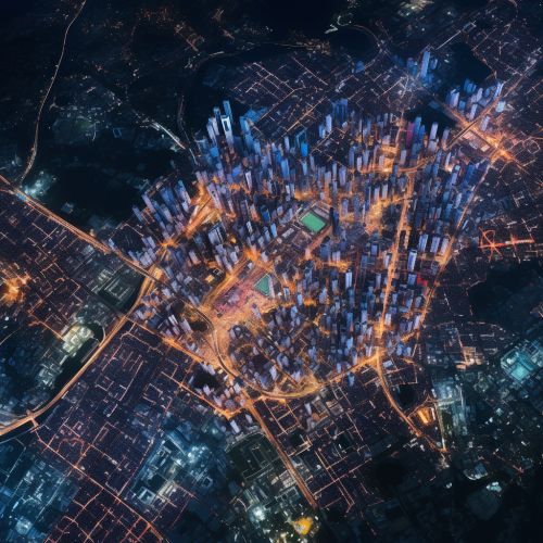
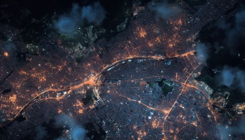
Optical imagery is the most common type of satellite imagery and refers to images captured in the visible light spectrum. These images are similar to those captured by a standard camera, but from a much higher altitude. Optical imagery is used in a wide range of applications, including mapping, environmental monitoring, and military reconnaissance.
Infrared Imagery
Infrared imagery captures data in the infrared spectrum. This type of imagery is particularly useful for detecting heat sources, making it valuable in applications such as forest fire detection, energy loss analysis in buildings, and identifying heat signatures for military purposes.
Radar Imagery
Radar imagery uses radar signals to capture images of the Earth's surface. This type of imagery is capable of penetrating clouds and capturing images at night, making it useful for applications such as weather forecasting and disaster monitoring.
Satellite Imagery Resolution
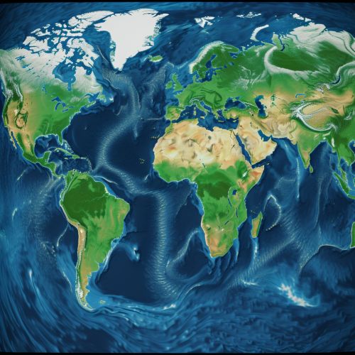
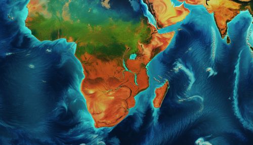
The resolution of satellite imagery refers to the smallest detail that can be detected by the sensor. This is typically measured in meters. For example, an image with a resolution of 1 meter means that each pixel in the image represents a 1 meter square on the Earth's surface. Higher resolution images provide more detail, but also require more storage space and processing power.
Applications of Satellite Imagery
Satellite imagery has a wide range of applications in various fields. These include:
Geology and Geography
Satellite imagery is used extensively in the fields of geology and geography for tasks such as mapping, land use planning, and resource exploration. For example, satellite images can be used to identify geological features such as faults and folds, or to map the distribution of different types of vegetation.
Meteorology
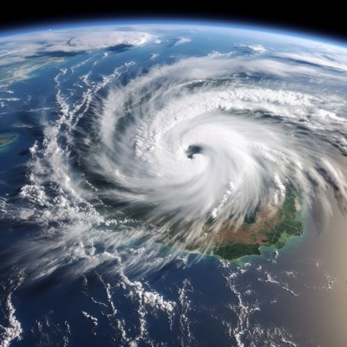
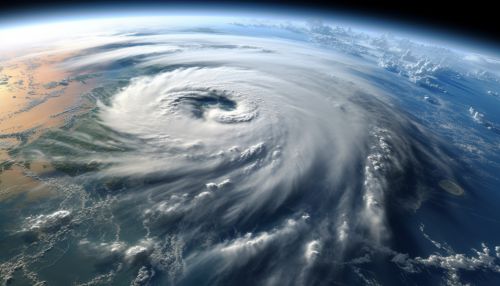
In meteorology, satellite imagery is used to monitor weather patterns, track storms, and forecast weather. For example, meteorologists use satellite images to track the development and movement of hurricanes.
Defense and Intelligence
In the defense and intelligence sectors, satellite imagery is used for reconnaissance and surveillance purposes. For example, satellite images can be used to monitor the activities of potential adversaries, track the movement of military assets, and assess the impact of natural or man-made disasters.
Environmental Monitoring
Satellite imagery is also used for environmental monitoring. For example, satellite images can be used to monitor deforestation, track the spread of wildfires, and assess the impact of natural disasters such as floods and earthquakes.
Future of Satellite Imagery
The future of satellite imagery is likely to be shaped by advances in technology and changes in the regulatory environment. Technological advancements are expected to lead to improvements in image resolution and the ability to capture images in new parts of the electromagnetic spectrum. Changes in the regulatory environment could also impact the satellite imagery market, for example by opening up new opportunities for commercial satellite operators.
