The Role of Geoinformatics in Natural Resource Management
Introduction
Geoinformatics, also known as geospatial informatics, is an interdisciplinary field that utilizes a broad range of tools and techniques to collect, analyze, and visualize geographic data. This field has significant implications for natural resource management, where it aids in the efficient and sustainable use of resources.


Geoinformatics: An Overview
Geoinformatics combines the study of geography, information science, and computer science to analyze spatial data. It uses various tools and techniques, including Geographical Information Systems (GIS), remote sensing, and Global Positioning Systems (GPS), to collect and interpret geographic data. These tools enable the visualization, modeling, and analysis of large datasets, providing valuable insights into spatial relationships and patterns.
Role of Geoinformatics in Natural Resource Management
Natural resource management involves the sustainable utilization of resources such as water, soil, minerals, plants, and animals. Geoinformatics plays a crucial role in this field, providing tools and techniques for efficient resource management.
Resource Identification and Assessment
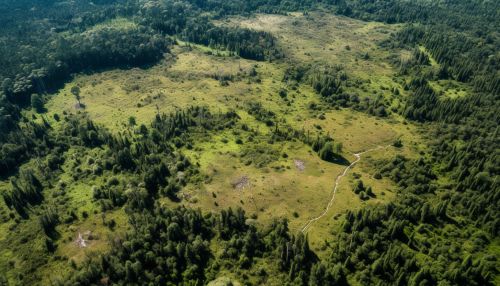
Geoinformatics aids in the identification and assessment of natural resources. Using remote sensing and GIS, it is possible to map and monitor resources over large areas and difficult terrains. This helps in the identification of resource-rich areas and the assessment of the quantity and quality of resources.


Resource Planning and Management
Geoinformatics provides the tools for effective planning and management of resources. GIS, for instance, can be used to create resource management plans, delineate resource extraction zones, and monitor resource usage. This helps in the sustainable utilization of resources, minimizing environmental impacts and ensuring long-term resource availability.
Resource Conservation and Protection
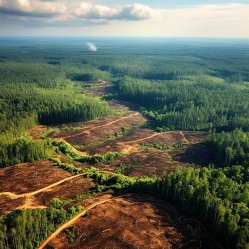
Geoinformatics also plays a crucial role in resource conservation and protection. Remote sensing and GIS can be used to monitor changes in resource conditions, detect illegal activities such as poaching or deforestation, and assess the effectiveness of conservation measures. This helps in the protection of resources and the maintenance of biodiversity.


Challenges and Future Directions
Despite its significant contributions, the application of geoinformatics in natural resource management faces several challenges. These include the high cost of geoinformatics tools, the need for specialized skills and training, and issues related to data quality and availability. Moreover, the integration of geoinformatics with other disciplines, such as ecology and social sciences, remains a challenge.
Looking ahead, the field of geoinformatics is expected to continue evolving, with advancements in technologies such as artificial intelligence, big data analytics, and cloud computing promising to enhance its capabilities. These advancements could enable more accurate and timely resource assessments, more effective resource management strategies, and more robust conservation measures.


