The Role of Geoinformatics in Environmental Conservation
Introduction
Geoinformatics, a discipline that merges geospatial analysis and informatics, plays a pivotal role in environmental conservation. This field uses a variety of tools such as GIS, remote sensing, and GPS to gather and analyze data related to the environment. The data collected is then used to monitor and manage natural resources, assess environmental impact, and implement conservation strategies.


Geoinformatics: An Overview
Geoinformatics is a multidisciplinary field that combines geosciences, computer science, and information technology. It involves the collection, classification, manipulation, storage, retrieval and dissemination of geospatial data. This data is used to study and manage the Earth's resources and environment. Geoinformatics has a wide range of applications, from urban planning and transportation, to disaster management and environmental conservation.
Role in Environmental Conservation
Environmental conservation is one of the key areas where geoinformatics has found significant application. The following sections delve into the various ways geoinformatics contributes to environmental conservation.
Resource Management
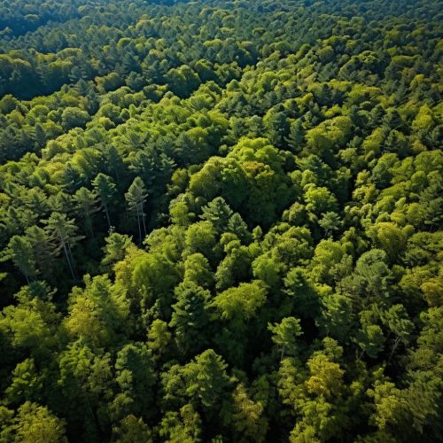
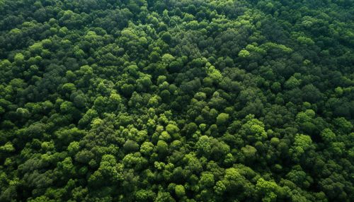
Geoinformatics aids in the efficient management of natural resources such as water, forests, and minerals. GIS and remote sensing technologies allow for the mapping and monitoring of these resources, providing valuable data that can guide conservation efforts. For instance, GIS can be used to identify areas of deforestation, enabling authorities to implement measures to curb this practice and promote reforestation.


Environmental Impact Assessment
Geoinformatics is also used in Environmental Impact Assessments (EIA). These assessments are crucial in determining the potential effects of a proposed project on the environment. GIS can be used to model different scenarios, helping decision-makers understand the potential impact and make informed decisions.
Climate Change Monitoring
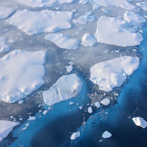
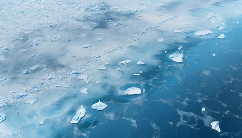
Geoinformatics plays a crucial role in studying and monitoring climate change. Remote sensing technology, for instance, can be used to monitor changes in sea levels, ice caps, and vegetation. This data can then be used to predict future changes and inform climate change mitigation strategies.


Disaster Management
In the event of natural disasters, geoinformatics can aid in both the prediction and management of these events. For instance, GIS can be used to create risk maps, helping communities prepare for disasters such as floods or earthquakes. Following a disaster, geoinformatics can assist in damage assessment and recovery efforts.
Challenges and Future Directions
Despite its many applications, the use of geoinformatics in environmental conservation is not without challenges. These include issues related to data quality, accessibility, and interoperability. Additionally, there is a need for more skilled professionals in the field. Looking ahead, advancements in technology, such as the development of more sophisticated remote sensing tools and the increasing use of artificial intelligence in data analysis, are expected to further enhance the role of geoinformatics in environmental conservation.


