Remote Sensing in Agriculture
Introduction
Remote sensing in agriculture is a rapidly evolving field that involves the use of remote sensing technologies to monitor and manage agricultural practices. This technology has revolutionized the way farmers, researchers, and policy makers approach agriculture, offering a new perspective on crop health, soil conditions, and environmental factors that can impact agricultural productivity.


History and Development
The use of remote sensing in agriculture dates back to the early 20th century, when aerial photography was first used to assess crop conditions. However, it wasn't until the advent of satellite technology in the 1970s that remote sensing truly began to transform agriculture. The launch of the Landsat satellites by NASA marked a significant milestone in the history of remote sensing, providing researchers with unprecedented access to detailed, consistent data about the Earth's surface.
Types of Remote Sensing Technologies
There are several types of remote sensing technologies used in agriculture, each with its own strengths and limitations. These include:
Satellite Remote Sensing
Satellite remote sensing involves the use of satellites to capture images or data about the Earth's surface. This type of remote sensing provides a broad, global perspective, making it ideal for monitoring large-scale agricultural operations and assessing regional or global trends in agricultural productivity.
Aerial Remote Sensing
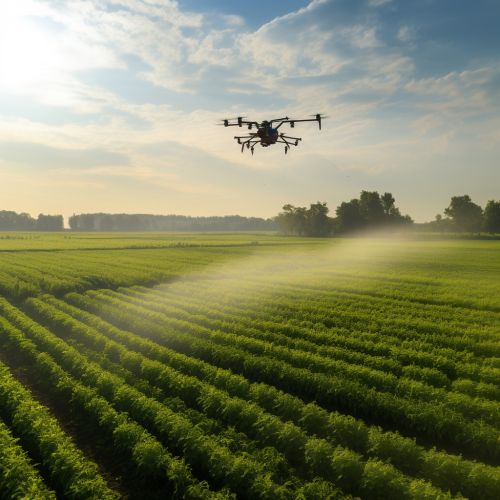
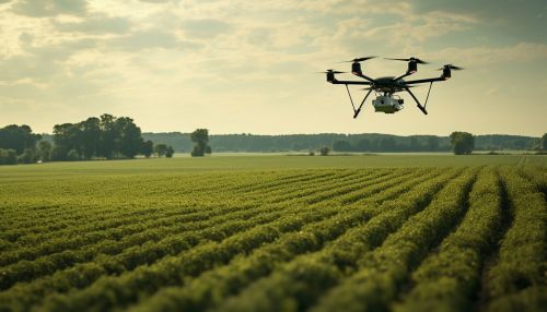
Aerial remote sensing involves the use of aircraft, such as drones or manned aircraft, to capture images or data. This type of remote sensing provides a more localized perspective, making it ideal for monitoring small to medium-sized agricultural operations.
Ground-Based Remote Sensing
Ground-based remote sensing involves the use of sensors placed directly on the ground or on agricultural equipment. This type of remote sensing provides the most detailed perspective, making it ideal for monitoring individual plants or small plots of land.
Applications of Remote Sensing in Agriculture
Remote sensing has a wide range of applications in agriculture, including:
Crop Monitoring
Remote sensing is commonly used to monitor crop health and growth. By analyzing data captured by remote sensing technologies, farmers can identify areas of their fields where crops are struggling, allowing them to take targeted action to improve crop health.
Soil Analysis
Remote sensing can also be used to analyze soil conditions. This can help farmers understand the nutrient content of their soil, identify areas of their fields that are prone to erosion, and monitor changes in soil moisture levels.
Pest and Disease Detection
Remote sensing can help farmers detect pests and diseases early, before they have a chance to cause significant damage. By identifying areas of their fields that are showing signs of pest activity or disease, farmers can take targeted action to address these issues.
Yield Prediction
By analyzing data captured by remote sensing technologies, researchers can predict crop yields with a high degree of accuracy. This can help farmers plan for the future and make informed decisions about their operations.
Challenges and Future Directions
While remote sensing has the potential to transform agriculture, there are still several challenges that need to be overcome. These include the high cost of some remote sensing technologies, the need for specialized training to interpret remote sensing data, and the need for improved data processing and analysis tools.
Looking to the future, it is likely that remote sensing will continue to play an increasingly important role in agriculture. Advances in technology, such as the development of more affordable and user-friendly remote sensing tools, are expected to make remote sensing more accessible to farmers. At the same time, the growing demand for sustainable agricultural practices is likely to drive further innovation in the field of remote sensing.
