Applications of GPS
Introduction
The Global Positioning System (GPS) is a satellite-based navigation system that provides location and time information in all weather conditions, anywhere on or near the Earth where there is an unobstructed line of sight to four or more GPS satellites. GPS technology has a wide range of applications, from navigation and mapping to scientific research and surveillance. This article delves into the various applications of GPS, exploring its use in different sectors and industries.
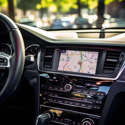
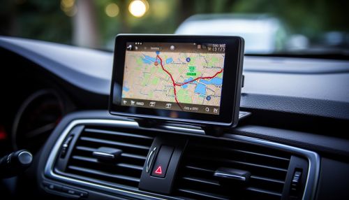
GPS technology is most commonly associated with navigation. It is used in various navigation devices, including those found in vehicles, smartphones, and other handheld devices. These devices use GPS signals to determine the user's current location, direction of travel, speed, and estimated time of arrival at a specified destination.


Mapping and Surveying
GPS is extensively used in mapping and surveying applications. It aids in creating detailed and accurate maps of the Earth's surface, which are used in various fields such as cartography, geology, and civil engineering. GPS technology is also used in land surveying to accurately measure property boundaries and topographical features.
Scientific Research
In the field of scientific research, GPS technology is used in various ways. For example, it is used in weather forecasting and climate research to track weather patterns and monitor changes in the Earth's climate. In geology, GPS is used to monitor tectonic plate movements and predict earthquakes. In wildlife research, GPS tracking devices are used to study animal migration patterns.
Military Applications
The GPS was originally developed by the U.S. Department of Defense for military applications. Today, it is used by militaries around the world for navigation, target tracking, and missile guidance. GPS technology also aids in search and rescue operations, surveillance, and reconnaissance missions.
Emergency Services
GPS technology plays a crucial role in emergency services. It is used in emergency response systems to locate callers and dispatch help to their location. GPS is also used in search and rescue operations to locate lost or stranded individuals.
Agriculture
In agriculture, GPS technology is used in precision farming. It aids in mapping fields, tracking livestock, and guiding farm machinery. GPS technology helps farmers increase productivity, reduce costs, and improve sustainability.
Transportation and Logistics
GPS technology is widely used in the transportation and logistics industry. It aids in route planning, vehicle tracking, and fleet management. GPS technology helps companies improve efficiency, reduce costs, and enhance customer service.
Recreation
In the realm of recreation, GPS technology is used in various outdoor activities such as hiking, hunting, fishing, and geocaching. GPS devices help outdoor enthusiasts navigate unfamiliar terrain, track their progress, and mark points of interest.
Conclusion
The applications of GPS technology are vast and varied, spanning numerous sectors and industries. From navigation and mapping to scientific research and military operations, GPS technology has revolutionized the way we understand and interact with the world around us.
