GPS
Introduction
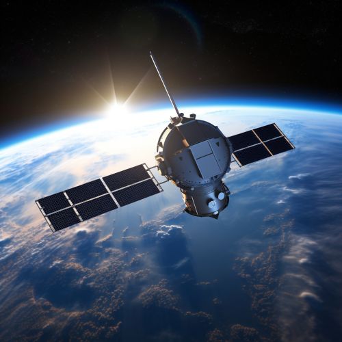
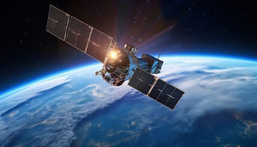
The Global Positioning System (GPS) is a satellite-based radio navigation system that provides geolocation and time information to a GPS receiver anywhere on or near the Earth. The system operates independently of any telephonic or internet reception and does not require the user to transmit any data.


History
The development of GPS was initiated by the United States Department of Defense (DoD) in the 1970s, following the launch of the first artificial satellite, Sputnik, by the Soviet Union in 1957. The system was originally designed for military applications but was made available for civilian use in the 1980s.
Operation
GPS operates through a network of approximately 30 satellites in medium Earth orbit (MEO). These satellites transmit signals that are received by GPS receivers on the ground, which calculate their location based on the time it takes for the signals to arrive.
Signal Transmission
Each GPS satellite transmits a unique pseudorandom noise (PRN) code along with a navigation message. The PRN code allows the receiver to identify the transmitting satellite and measure the signal's time of flight, which is used to calculate the distance to the satellite.
Position Calculation
The GPS receiver calculates its position using a method called trilateration. This involves measuring the distances to at least four satellites and using these measurements to determine the receiver's three-dimensional position and time offset.
Applications
GPS has a wide range of applications, including navigation, mapping, surveying, and timekeeping. It is also used in numerous scientific fields, such as geology, geophysics, and atmospheric science.
GPS is widely used for navigation in vehicles, aircraft, and ships. It provides accurate and continuous position information, making it an essential tool for modern navigation systems.
Mapping and Surveying
GPS is also used extensively in mapping and surveying. It allows for precise measurement of geographical features and property boundaries, and is used in the creation of detailed topographic maps.
Timekeeping
GPS provides highly accurate time information, which is used in a variety of applications. These include telecommunications, power grid management, and financial services.
Future Developments
The GPS system is continually being upgraded and improved. Future developments include the addition of new signals for civilian use, improvements in signal accuracy, and enhancements to the system's robustness and resilience.
