GPS signal
Introduction
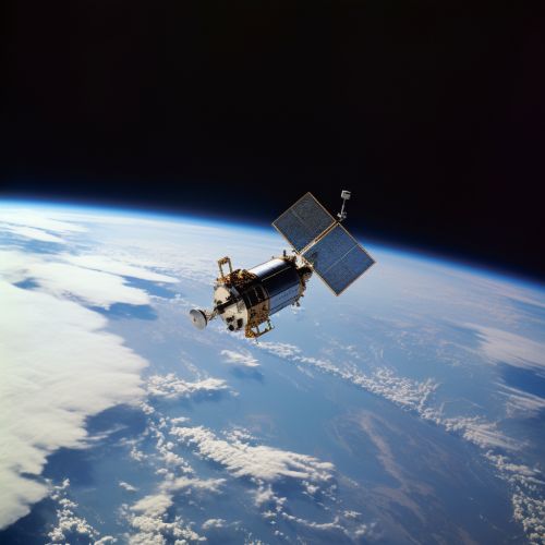
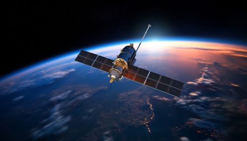
The Global Positioning System (GPS) signal is a critical component of a global navigation satellite system (GNSS) that provides geolocation and time information to a GPS receiver anywhere on or near the Earth where there is an unobstructed line of sight to four or more GPS satellites. The system operates independently of any telephonic or internet reception and does not require the user to transmit any data 1(#ref1).
History
The concept of GPS was derived from the ground-based radio navigation systems developed in the early 20th century and used during World War II. The system was initially developed by the United States Department of Defense (DoD) and was officially named NAVSTAR GPS (Navigation Signal Timing and Ranging Global Positioning System). The first satellite was launched in 1978, and the 24th satellite was launched in 1994, completing the original GPS constellation 2(#ref2).
Signal Structure
The GPS signal consists of three different types of signals: L1, L2, and L5. Each of these signals is transmitted at a different frequency and has different characteristics. The L1 signal is transmitted at a frequency of 1575.42 MHz and carries both the navigation message and the PRN codes for the satellite. The L2 signal is transmitted at a frequency of 1227.60 MHz and is used for more precise positioning. The L5 signal is transmitted at a frequency of 1176.45 MHz and is intended for safety-of-life applications, such as aviation 3(#ref3).
Signal Propagation
GPS signals travel by line of sight, meaning they will pass through clouds, glass and plastic but will not go through most solid objects such as buildings and mountains. However, modern receivers are more sensitive and can usually track through houses. A GPS signal contains three different bits of information — a pseudorandom code, ephemeris data and almanac data. This information identifies the satellite, its current status, date and time as well where it should be at any given time 4(#ref4).
GPS Signal Errors and Corrections
There are several sources of errors that can affect the accuracy of a GPS signal. These include satellite clock errors, atmospheric delays, multipath effects, and receiver noise. To correct for these errors, various techniques are used, including differential GPS (DGPS), which uses a network of fixed ground-based reference stations to broadcast the difference between the positions indicated by the GPS satellite system and the known fixed positions 5(#ref5).
Applications
GPS signals are used in a wide variety of applications, including navigation, surveying, timing, and geodesy. They are also used in a wide range of industries, including transportation, construction, agriculture, and the military. In addition, GPS signals are used in many consumer products, such as cars, smartphones, and watches 6(#ref6).
Future Developments
The future of GPS signals is likely to involve further improvements in accuracy, reliability, and availability. This may be achieved through the development of new satellite systems, the use of additional signals, and improvements in receiver technology. In addition, there is ongoing research into ways of making GPS signals more resistant to interference and jamming 7(#ref7).
See Also
References
- <a id="ref1"></a>GPS.gov. (n.d.). GPS Overview. Retrieved from https://www.gps.gov/systems/gps/
- <a id="ref2"></a>Logsdon, T. (1992). The NAVSTAR Global Positioning System. Van Nostrand Reinhold.
- <a id="ref3"></a>Kaplan, E. D., & Hegarty, C. J. (2006). Understanding GPS: principles and applications. Artech house.
- <a id="ref4"></a>GPS.gov. (n.d.). GPS Accuracy. Retrieved from https://www.gps.gov/systems/gps/performance/accuracy/
- <a id="ref5"></a>Hofmann-Wellenhof, B., Lichtenegger, H., & Wasle, E. (2008). GNSS–global navigation satellite systems: GPS, GLONASS, Galileo, and more. Springer Science & Business Media.
- <a id="ref6"></a>GPS.gov. (n.d.). GPS Applications. Retrieved from https://www.gps.gov/applications/
- <a id="ref7"></a>Walter, T., & Enge, P. (2000). Future GPS: The challenges of maintaining a high-quality service. Proceedings of the IEEE, 88(1), 18-25.
