Satellite Navigation Systems
Introduction
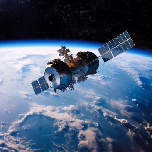
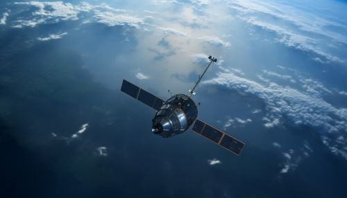
A satellite navigation system is a system of satellites that provides geo-spatial positioning with global coverage. It allows small electronic receivers to determine their location (longitude, latitude, and altitude) to within a few meters using time signals transmitted along a line of sight by radio from satellites. Receivers calculate the current local time to high precision using time signals transmitted along a line of sight by radio from satellites.
History
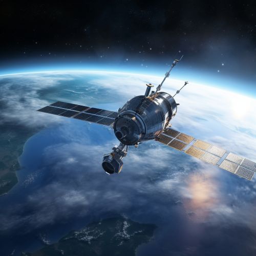
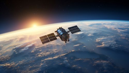
The concept of satellite navigation originated with the launch of the Sputnik satellite by the Soviet Union in 1957. The United States Navy developed satellite navigation technology to track US submarines carrying Polaris nuclear missiles. This system, known as Transit, operated from 1960 to 1991. Concurrently, the US Navy developed the Timation satellite that proved the ability to place accurate clocks in space, a technology the GPS system relies upon.


Principles of Operation
Satellite navigation systems operate by using a network of satellites that send radio signals in medium earth orbit. A satellite navigation receiver then picks up the signals from at least four satellites to calculate its precise location using a method known as trilateration. The receiver measures the time delay for each signal, and this measurement tells the receiver how far away each satellite is.


There are several satellite navigation systems in operation today, including the Global Positioning System (GPS) of the United States, the GLONASS of Russia, the Galileo system of the European Union, and the BeiDou system of China. These systems are known collectively as the Global Navigation Satellite Systems (GNSS).
Global Positioning System (GPS)
The GPS is a satellite-based radionavigation system owned by the United States government and operated by the United States Space Force. It is one of the global navigation satellite systems (GNSS) that provides geolocation and time information to a GPS receiver anywhere on or near the Earth.
GLONASS
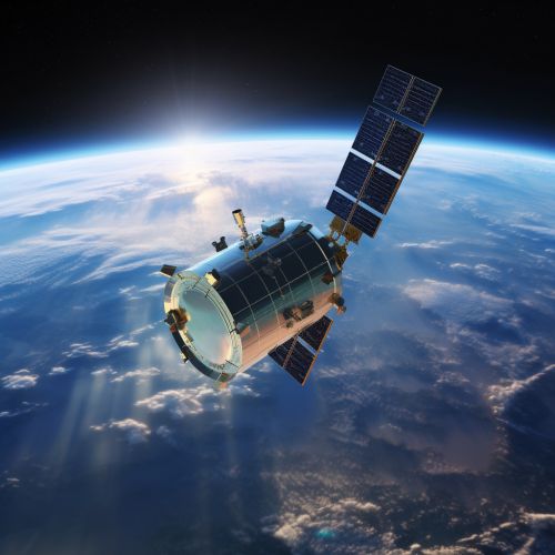
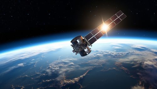
GLONASS, or "Globalnaya Navigatsionnaya Sputnikovaya Sistema," is Russia's version of GPS. It is the most expensive program of the Russian Federal Space Agency, consuming a third of its budget in 2010.
Galileo
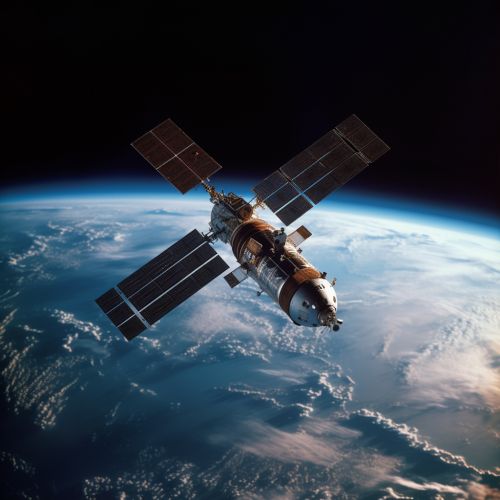
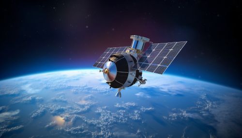
Galileo is the global navigation satellite system (GNSS) that is being created by the European Union (EU) through the European GNSS Agency (GSA), headquartered in Prague, Czech Republic, with two ground operations centers in Fucino, Italy, and Oberpfaffenhofen, Germany.

BeiDou
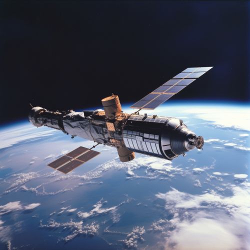
The BeiDou system is a Chinese satellite navigation system. It consists of two separate satellite constellations – the limited test system that has been operating since 2000, and the full-scale global navigation system that is currently under construction.
Applications
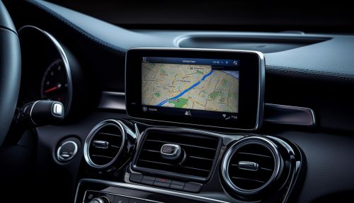
Satellite navigation systems are used in many applications including navigation, agriculture, construction, and the military. They are also used in automated systems such as self-driving cars and in the control of unmanned aerial vehicles (drones).

