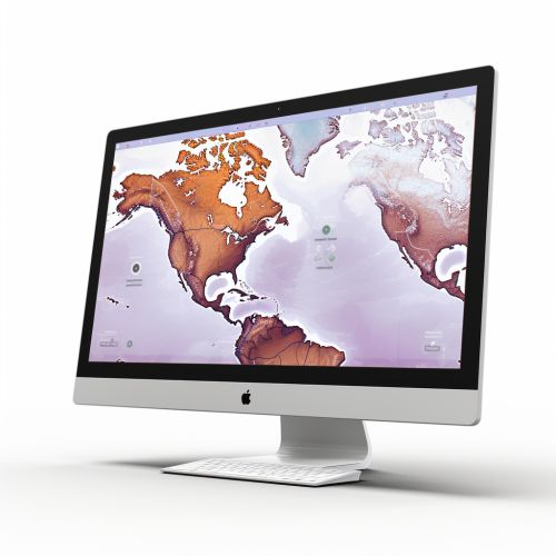
Digital Mapping
Introduction
Digital mapping, also known as cartography, is a process of creating maps using computers. It involves the collection, compilation, and formatting of geographic data into a virtual image. The maps created through this process are referred to as digital maps. These maps can be used in various sectors such as transportation, marketing, logistics, and urban planning, among others.


History
The history of digital mapping dates back to the 1960s with the advent of the first computer graphics systems. The development of digital mapping technology has been driven by advancements in computer technology and the increasing availability of geographic data.
Digital Mapping Process
The process of digital mapping involves several stages, including data collection, data processing, and map design.
Data Collection
Data collection is the first step in the digital mapping process. This involves gathering geographic data from various sources such as satellite imagery, aerial photography, and ground surveys. The data collected can include information about the physical features of the landscape, such as roads, buildings, and bodies of water, as well as demographic information, such as population density.


Data Processing
Once the data has been collected, it needs to be processed and converted into a format that can be used to create a digital map. This involves the use of Geographic Information System (GIS) software, which allows for the manipulation, analysis, and visualization of geographic data.
Map Design
The final stage of the digital mapping process is map design. This involves the use of cartographic principles to create a map that is both visually appealing and easy to understand. The map designer must consider factors such as color, typography, and symbolization when creating a digital map.


Applications of Digital Mapping
Digital mapping has a wide range of applications in various sectors.
Transportation
In the transportation sector, digital maps are used for route planning and navigation. They can provide real-time information about traffic conditions, helping drivers to avoid congestion and reach their destination more efficiently.
Marketing
In marketing, digital maps can be used to analyze demographic data and identify potential markets. They can also be used to plan marketing campaigns and measure their effectiveness.
Urban Planning
In urban planning, digital maps can be used to visualize and analyze the spatial distribution of various urban features, such as population density, land use, and transportation networks. This can help urban planners to make informed decisions about the development of a city.


Future of Digital Mapping
The future of digital mapping is likely to be shaped by advancements in technology, such as the development of more sophisticated GIS software and the increasing availability of high-quality geographic data. This could lead to the creation of more detailed and accurate digital maps, which could be used in a wider range of applications.
